Transport Functions
Road
Multimodal
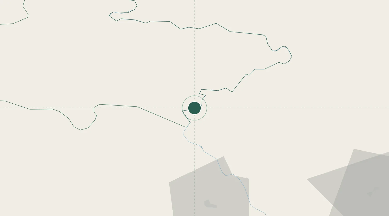
Hub Profile
Place type
Locality
Region
Karnali Pradesh
Time zone
Asia/Kathmandu
Elevation
830 m
Location
Nearby Logistics Neighbours
Cities
- 1Nawalparasi25 km
- 2Bhairahawa45 km
- 3Sikta Lcs49 km
- 4Gorakhpur95 km
- 5Birgunj ICD107 km
Ports
- 1Calcutta705 km
- 2Haldia Port737 km
- 3Mongla798 km
- 4Dhamra800 km
- 5Paradip847 km
Airports
Trade Zones
DatabookThe Record of Consolidated Knowledge
Nepal beyond logistics?