Diversified Zone · Nepal

Panchkhal Special Economic Zone Under Development
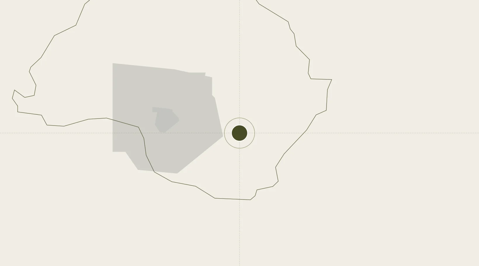
27.6518°, 85.6480°
50 ha
Zone area
628.4 km
Nearest port
28.9 km
Nearest airport

Gateway access

Nearest neighbours — logibook spatial index (haversine) over the source coordinates

Zone profile

Zone type
Diversified Zone
Open Zone Map
Region
Bagmati
Open Zone Map
Status
Under Development
Open Zone Map
Management
Public
Open Zone Map
Operator
Special Economic Zone Authority, Nepal
Open Zone Map
Legal framework
Special Economic Zone Act, 2073 (2016).
Open Zone Map

Location

Location of ozm-2900
Natural Earth 10m (public domain) · Bagmati · ozm-2900 · 27.65, 85.65GoogleOSMYandex

Nearby Logistics Neighbours

Ports
  1. 1Calcutta628 km
  2. 2Haldia Port673 km
  3. 3Mongla701 km
  4. 4Dhamra772 km
  5. 5Paradip828 km
Nearest neighbours — logibook spatial index (haversine) over the source coordinates
Airports
  1. 1Tribhuvan International Airport29 km
  2. 2Simara Airport86 km
  3. 3Lukla Airport107 km
  4. 4Janakpur Airport108 km
  5. 5Bharatpur Airport120 km
Nearest neighbours — logibook spatial index (haversine) over the source coordinates
Cities
  1. 1Birgunj ICD105 km
  2. 2Laukaha Lcs146 km
  3. 3Pipraun Lcs153 km
  4. 4Sikta Lcs167 km
  5. 5Triveni174 km
Nearest neighbours — logibook spatial index (haversine) over the source coordinates
Trade Zones
  1. 1Nuwakot Special Economic Zone64 km
  2. 2Dhangadi Special Economic Zone88 km
  3. 3Dhanusha Special Economic Zone90 km
  4. 4Simara Special Economic Zone94 km
  5. 5Rautahat Special Economic Zone100 km
Nearest neighbours — logibook spatial index (haversine) over the source coordinates
DatabookThe Record of Consolidated Knowledge
Nepal beyond logistics?
Browse databook

All Sources

Trade ZonesOpen Zone Map
CC BY
Portsthe NGA World Port Index
Public domain (US gov)
AirportsOurAirports
Public domain
LocationsUN/LOCODE
UN/LOCODE — free
← Nepal trade zones