Runway & Layout

Airport Specifications
IATA code
DOP
ICAO code
VNDP
Airport class
Small airport
Scheduled service
Yes
Served city
Dolpa
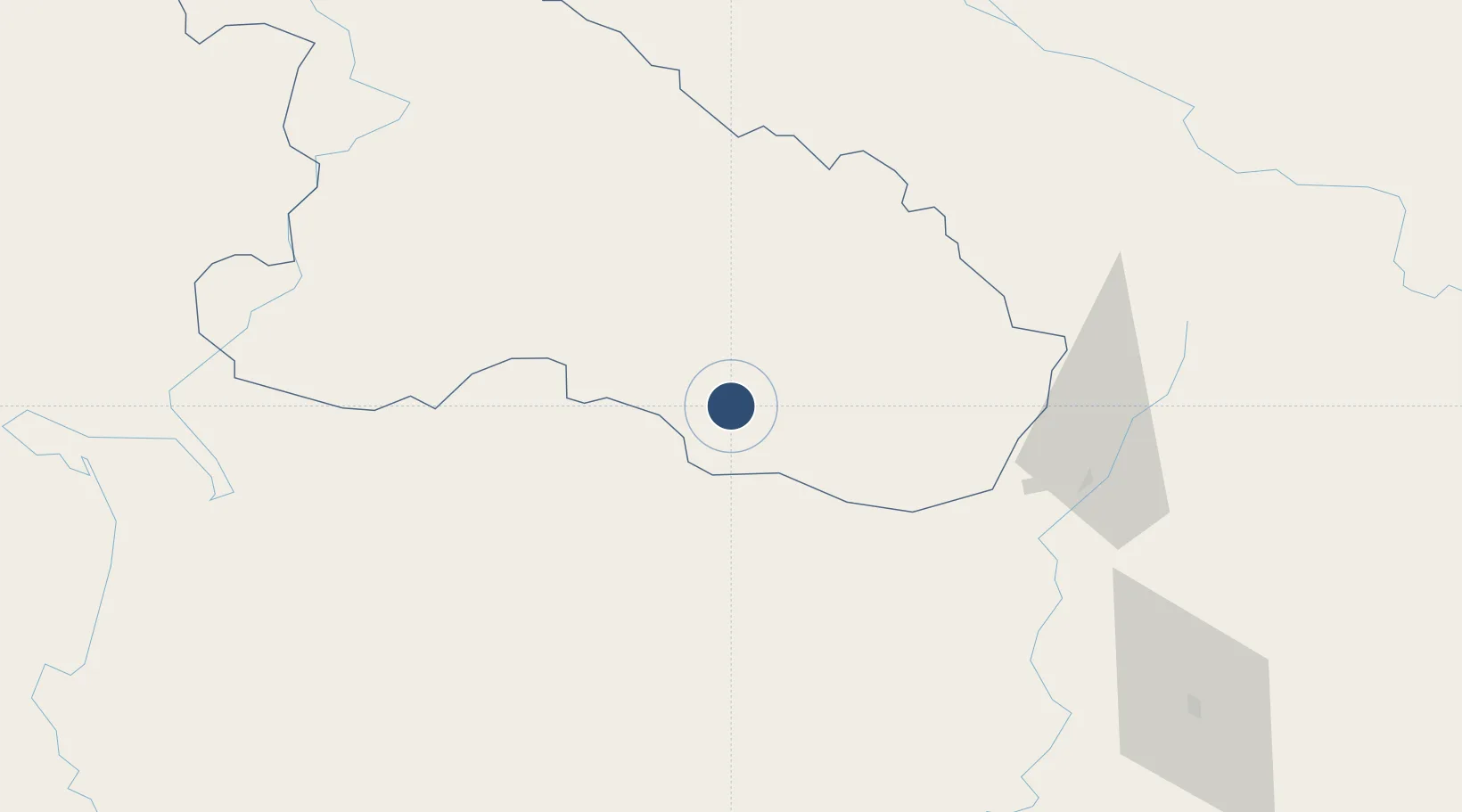
Location
Nearby Logistics Neighbours
Airports
- 1Rukum Salle Airport53 km
- 2Jumla Airport69 km
- 3Jomsom Airport91 km
- 4Surkhet Airport124 km
- 5Pokhara Domestic Airport143 km
Cities
- 1Bhairahawa176 km
- 2Nawalparasi182 km
- 3Triveni201 km
- 4Sikta Lcs249 km
- 5Gorakhpur254 km
Ports
- 1Calcutta904 km
- 2Haldia Port938 km
- 3Mongla993 km
- 4Dhamra1000 km
- 5Paradip1045 km
Trade Zones
DatabookThe Record of Consolidated Knowledge
Nepal beyond logistics?