UN/LOCODE hub · Nepal
NPBBI

Bhairahawa

27.5000°, 83.4500°
1
Transport functions

Transport Functions

Multimodal
UN/LOCODE

Hub Profile

Region
LU
GeoNames

Location

Location of NPBBI
Natural Earth 10m (public domain) · LU · NPBBI · 27.50, 83.45GoogleOSMYandex

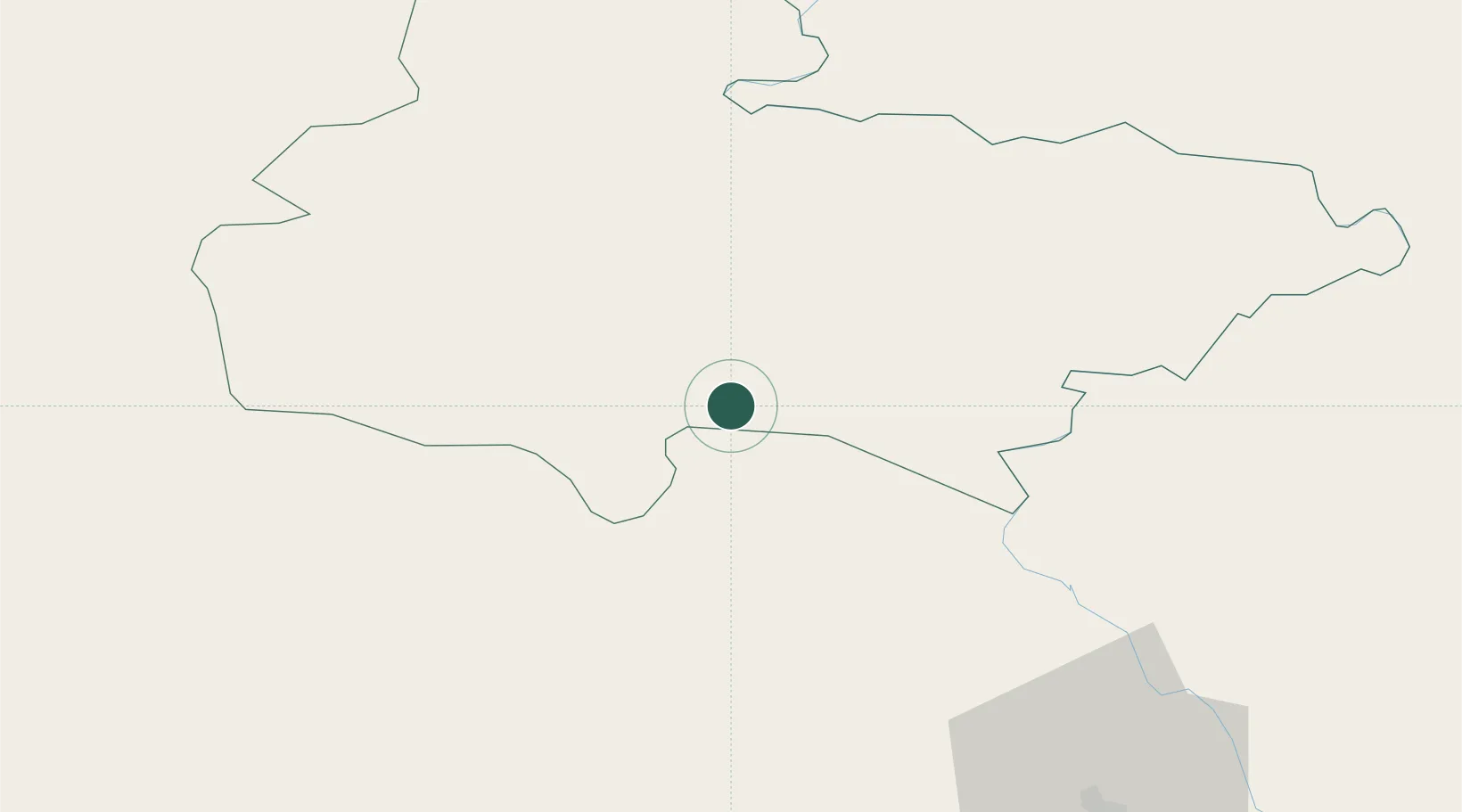
Nearby Logistics Neighbours

Cities
  1. 1Nawalparasi22 km
  2. 2Triveni45 km
  3. 3Sikta Lcs81 km
  4. 4Gorakhpur84 km
  5. 5Thootibari Lcs143 km
Nearest neighbours — logibook spatial index (haversine) over the source coordinates
Ports
  1. 1Calcutta738 km
  2. 2Haldia Port768 km
  3. 3Dhamra824 km
  4. 4Mongla835 km
  5. 5Paradip869 km
Nearest neighbours — logibook spatial index (haversine) over the source coordinates
Airports
  1. 1Gautam Buddha International Airport4 km
  2. 2Gorakhpur Airport85 km
  3. 3Kushinagar International Airport91 km
  4. 4Pokhara Domestic Airport94 km
  5. 5Pokhara International Airport94 km
Nearest neighbours — logibook spatial index (haversine) over the source coordinates
Trade Zones
  1. 1Bhairahawa Special Economic Zone3 km
  2. 2Kaspilvastu Special Economic Zone104 km
  3. 3Nuwakot Special Economic Zone161 km
  4. 4Nepalgunj Special Economic Zone195 km
  5. 5Rautahat Special Economic Zone197 km
Nearest neighbours — logibook spatial index (haversine) over the source coordinates
DatabookThe Record of Consolidated Knowledge
Nepal beyond logistics?
Browse databook

All Sources

LocationsUN/LOCODE
UN/LOCODE — free
Portsthe NGA World Port Index
Public domain (US gov)
AirportsOurAirports
Public domain
Trade Zonesthe World Bank SEZ database
CC BY 4.0
Trade ZonesOpen Zone Map
CC BY
← Nepal locations