Small airport · Nepal
Jomsom AirportVNJS
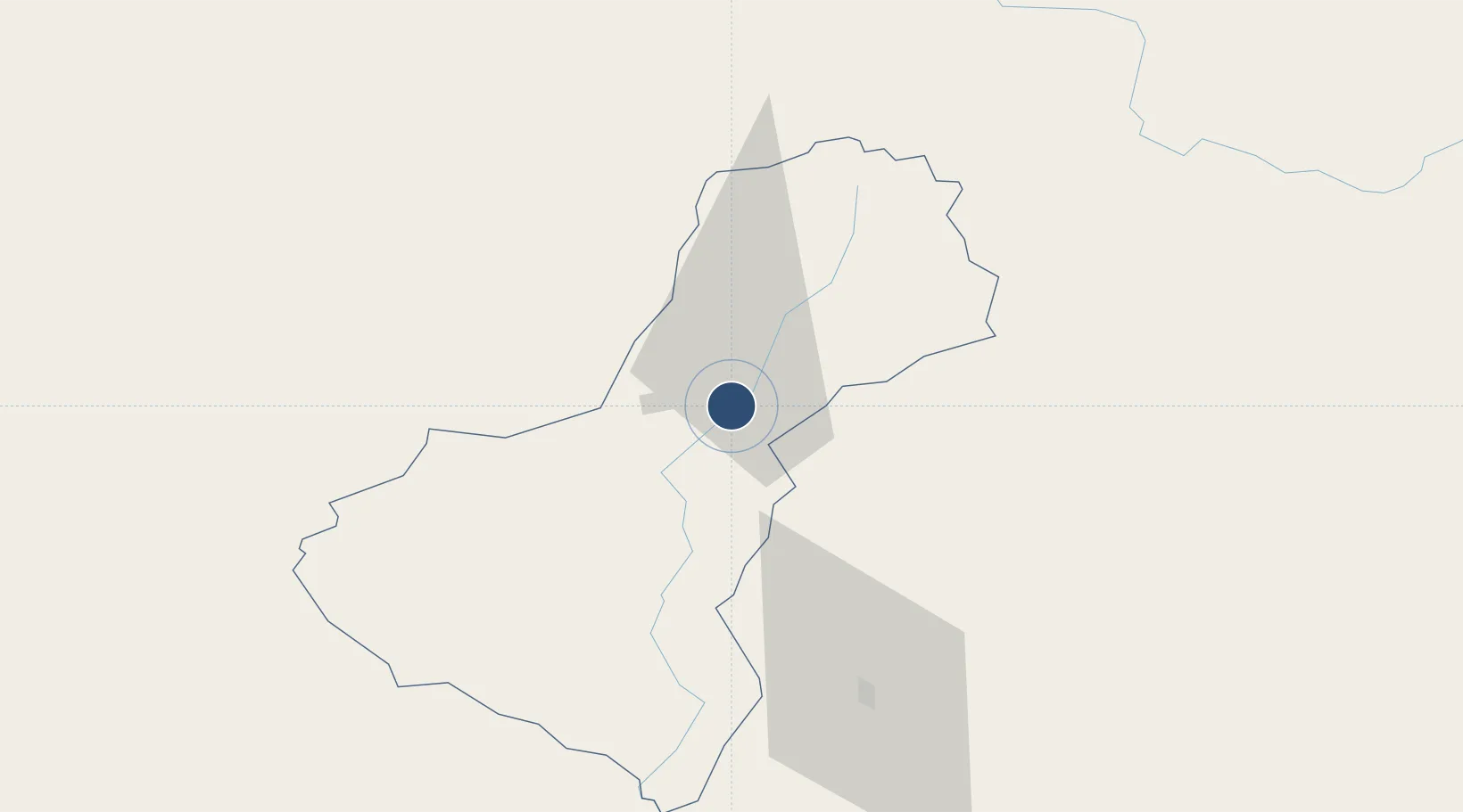
28.7804°, 83.7230°
2,424 ft
Longest runway
1
Runways
8,976 ft
Elevation
Runway & Layout

Runways · 1
| Runway | Dimensions | Surface | True heading | Lit |
|---|---|---|---|---|
| 06/24 | 2,424 × —ft | Asphalt | — | — |
Airport Specifications
IATA code
JMO
ICAO code
VNJS
Airport class
Small airport
Scheduled service
Yes
Runway surface
Asphalt
Served city
Jomsom
Location
Nearby Logistics Neighbours
Airports
- 1Pokhara Domestic Airport69 km
- 2Pokhara International Airport72 km
- 3Dolpa Airport91 km
- 4Rukum Salle Airport125 km
- 5Bharatpur Airport141 km
Cities
- 1Nawalparasi139 km
- 2Bhairahawa145 km
- 3Triveni149 km
- 4Sikta Lcs196 km
- 5Birgunj ICD226 km
Ports
- 1Calcutta833 km
- 2Haldia Port870 km
- 3Mongla916 km
- 4Dhamra944 km
- 5Paradip993 km
Trade Zones
DatabookThe Record of Consolidated Knowledge
Nepal beyond logistics?