Transport Functions
Multimodal
Hub Profile
Region
BR
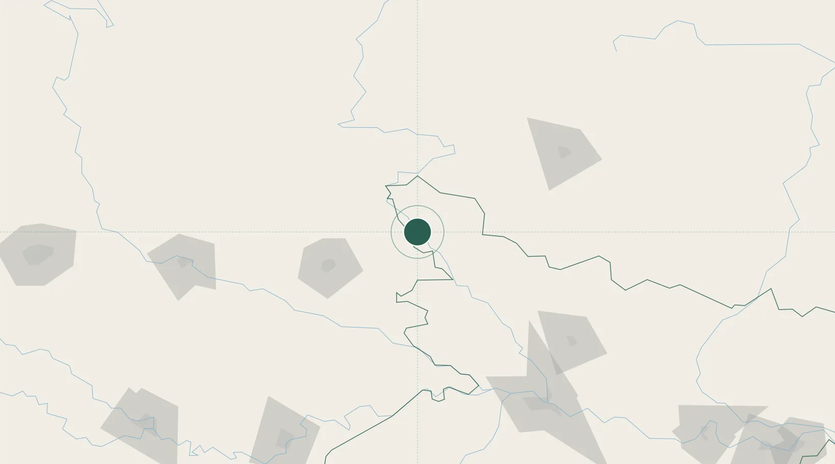
Location
Nearby Logistics Neighbours
Cities
- 1Triveni49 km
- 2Nawalparasi69 km
- 3Birgunj ICD76 km
- 4Bhairahawa81 km
- 5Gorakhpur82 km
Ports
- 1Calcutta658 km
- 2Haldia Port690 km
- 3Dhamra752 km
- 4Mongla754 km
- 5Paradip799 km
Airports
- 1Kushinagar International Airport37 km
- 2Gorakhpur Airport73 km
- 3Bharatpur Airport77 km
- 4Gautam Buddha International Airport85 km
- 5Simara Airport88 km
Trade Zones
DatabookThe Record of Consolidated Knowledge
India beyond logistics?