Small airport · Nepal

Bharatpur AirportVNBP
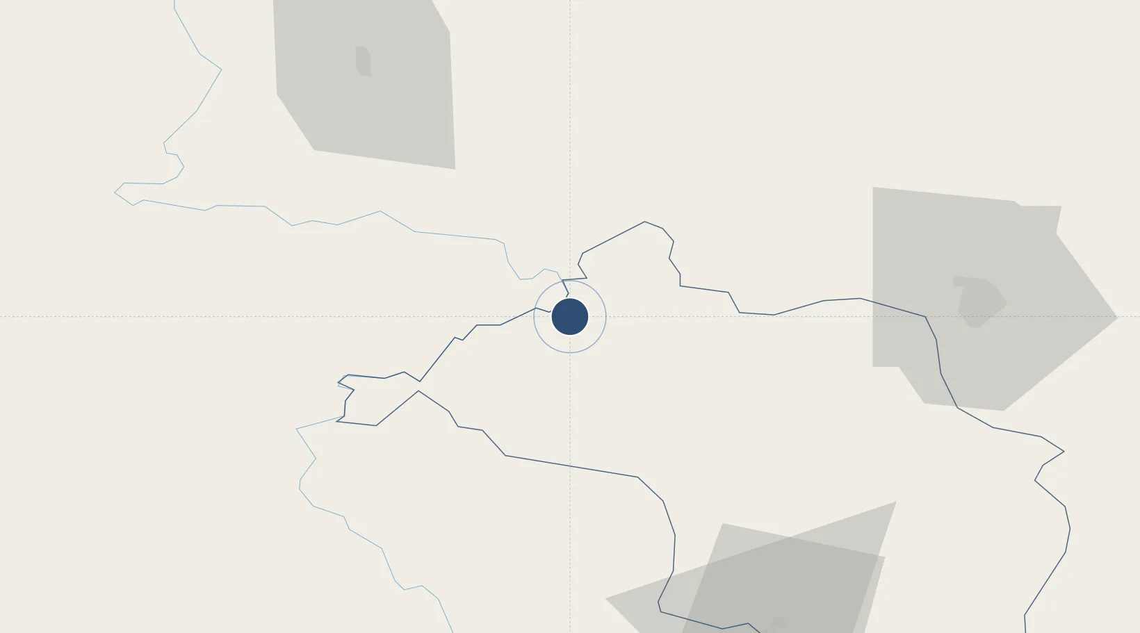
27.6781°, 84.4294°
3,799 ft
Longest runway
1
Runways
600 ft
Elevation

Runway & Layout

Bharatpur Airport runway & taxiway layout
Runway & taxiway layout — OpenStreetMap (ODbL) / OurAirports

Navaids

BHP NDB Bharatpur 295 kHz
OurAirports

Runways · 1

RunwayDimensions SurfaceTrue headingLit
15/33 3,799 × 98ft Asphalt
OurAirports

Airport Specifications

IATA code
BHR
OurAirports
ICAO code
VNBP
OurAirports
Airport class
Small airport
OurAirports
Scheduled service
Yes
OurAirports
Runway surface
Asphalt
OurAirports
Served city
Bharatpur
OurAirports

Location

Location of VNBP
Natural Earth 10m (public domain) · Narayani · VNBP · 27.68, 84.43GoogleOSMYandex

Nearby Logistics Neighbours

Airports
  1. 1Pokhara International Airport69 km
  2. 2Pokhara Domestic Airport73 km
  3. 3Simara Airport79 km
  4. 4Tribhuvan International Airport92 km
  5. 5Gautam Buddha International Airport102 km
Nearest neighbours — logibook spatial index (haversine) over the source coordinates
Cities
  1. 1Triveni58 km
  2. 2Nawalparasi77 km
  3. 3Sikta Lcs77 km
  4. 4Birgunj ICD85 km
  5. 5Bhairahawa99 km
Nearest neighbours — logibook spatial index (haversine) over the source coordinates
Ports
  1. 1Calcutta692 km
  2. 2Haldia Port729 km
  3. 3Mongla779 km
  4. 4Dhamra805 km
  5. 5Paradip855 km
Nearest neighbours — logibook spatial index (haversine) over the source coordinates
Trade Zones
  1. 1Kaspilvastu Special Economic Zone12 km
  2. 2Nuwakot Special Economic Zone62 km
  3. 3Bhairahawa Special Economic Zone97 km
  4. 4Panchkhal Special Economic Zone120 km
  5. 5Rautahat Special Economic Zone129 km
Nearest neighbours — logibook spatial index (haversine) over the source coordinates
DatabookThe Record of Consolidated Knowledge
Nepal beyond logistics?
Browse databook

All Sources

AirportsOurAirports
Public domain
Portsthe NGA World Port Index
Public domain (US gov)
LocationsUN/LOCODE
UN/LOCODE — free
Trade Zonesthe World Bank SEZ database
CC BY 4.0
Trade ZonesOpen Zone Map
CC BY
InfrastructureOpenStreetMap
ODbL 1.0
← Nepal airports