Large airport · Nepal

Gautam Buddha International AirportVNBW
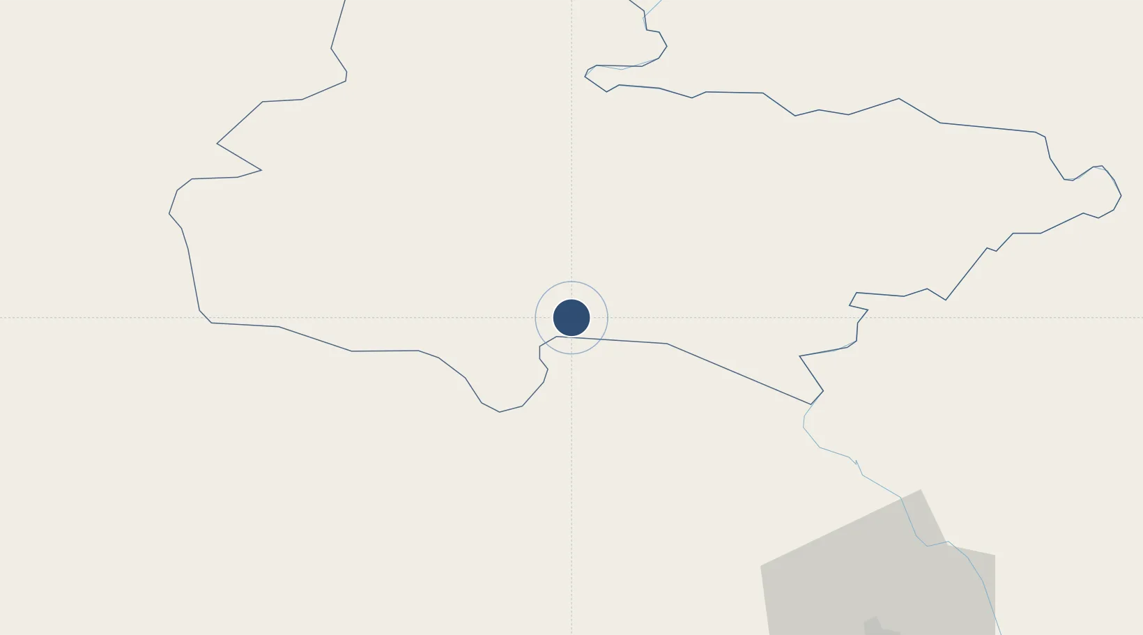
27.5046°, 83.4146°
9,843 ft
Longest runway
1
Runways
358 ft
Elevation

Runway & Layout

Gautam Buddha International Airport runway & taxiway layout
Runway & taxiway layout — OpenStreetMap (ODbL) / OurAirports

Radio Frequencies

TWR
122.5 MHz
OurAirports

Navaids

BHW NDB Bhairahawa 345 kHz
BWA VOR-DME Bhairahawa 114.70 MHz
OurAirports

Runways · 1

RunwayDimensions SurfaceTrue headingLit
10/28 9,843 × 148ft Asphalt 099°
OurAirports

Airport Specifications

IATA code
BWA
OurAirports
ICAO code
VNBW
OurAirports
Airport class
Large airport
OurAirports
Scheduled service
Yes
OurAirports
Runway surface
Asphalt
OurAirports
Served city
Siddharthanagar (Bhairahawa)
OurAirports

Location

Location of VNBW
Natural Earth 10m (public domain) · Lumbini · VNBW · 27.50, 83.41GoogleOSMYandex

Nearby Logistics Neighbours

Airports
  1. 1Gorakhpur Airport85 km
  2. 2Kushinagar International Airport94 km
  3. 3Pokhara Domestic Airport95 km
  4. 4Pokhara International Airport96 km
  5. 5Bharatpur Airport102 km
Nearest neighbours — logibook spatial index (haversine) over the source coordinates
Cities
  1. 1Bhairahawa4 km
  2. 2Nawalparasi25 km
  3. 3Triveni48 km
  4. 4Gorakhpur84 km
  5. 5Sikta Lcs85 km
Nearest neighbours — logibook spatial index (haversine) over the source coordinates
Ports
  1. 1Calcutta741 km
  2. 2Haldia Port771 km
  3. 3Dhamra826 km
  4. 4Mongla838 km
  5. 5Paradip871 km
Nearest neighbours — logibook spatial index (haversine) over the source coordinates
Trade Zones
  1. 1Bhairahawa Special Economic Zone6 km
  2. 2Kaspilvastu Special Economic Zone107 km
  3. 3Nuwakot Special Economic Zone164 km
  4. 4Nepalgunj Special Economic Zone192 km
  5. 5Rautahat Special Economic Zone201 km
Nearest neighbours — logibook spatial index (haversine) over the source coordinates
DatabookThe Record of Consolidated Knowledge
Nepal beyond logistics?
Browse databook

All Sources

AirportsOurAirports
Public domain
Portsthe NGA World Port Index
Public domain (US gov)
LocationsUN/LOCODE
UN/LOCODE — free
Trade Zonesthe World Bank SEZ database
CC BY 4.0
Trade ZonesOpen Zone Map
CC BY
InfrastructureOpenStreetMap
ODbL 1.0
← Nepal airports