Medium airport · Colombia

Eduardo Falla Solano AirportSKSV
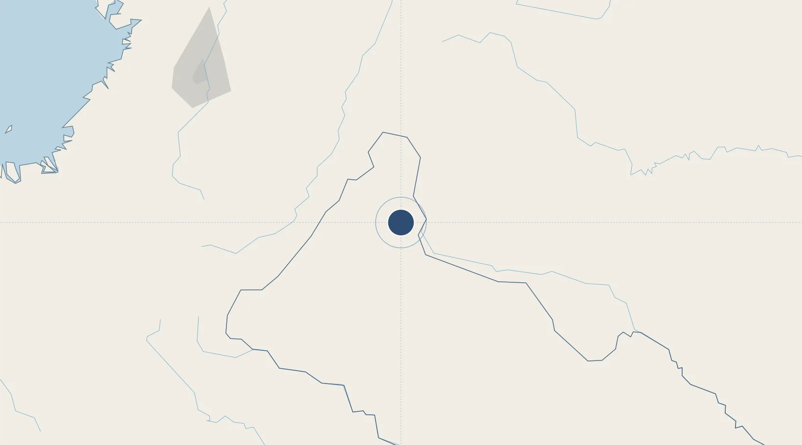
2.1522°, -74.7663°
4,921 ft
Longest runway
2
Runways
920 ft
Elevation

Runway & Layout

Eduardo Falla Solano Airport runway & taxiway layout
Runway & taxiway layout — OpenStreetMap (ODbL) / OurAirports

Radio Frequencies

TWR
118.4 MHz
RDO
348.8 MHz
S VIC D CAGUAN RDO
OurAirports

Navaids

SVC VOR-DME San Vicente Del Caguan 116.50 MHz
OurAirports

Runways · 2

RunwayDimensions SurfaceTrue headingLit
14/32 4,921 × 85ft Asphalt 132°
13/31 Unknown
OurAirports

Airport Specifications

IATA code
SVI
OurAirports
ICAO code
SKSV
OurAirports
Airport class
Medium airport
OurAirports
Scheduled service
Yes
OurAirports
Runway surface
Asphalt
OurAirports
Served city
San Vicente Del Caguán
OurAirports

Location

Location of SKSV
Natural Earth 10m (public domain) · Caquetá · SKSV · 2.15, -74.77GoogleOSMYandex

Nearby Logistics Neighbours

Airports
  1. 1La Jagua Airport103 km
  2. 2Benito Salas Airport106 km
  3. 3Gustavo Artunduaga Paredes Airport109 km
  4. 4La Macarena Airport109 km
  5. 5Pitalito Airport150 km
Nearest neighbours — logibook spatial index (haversine) over the source coordinates
Cities
  1. 1Villa Rica197 km
  2. 2Caloto206 km
  3. 3Guachene210 km
  4. 4Espinal223 km
  5. 5Candelaria223 km
Nearest neighbours — logibook spatial index (haversine) over the source coordinates
Ports
  1. 1Buenaventura320 km
  2. 2Tumaco444 km
  3. 3Esmeraldas558 km
  4. 4Iquitos678 km
  5. 5Turbo695 km
Nearest neighbours — logibook spatial index (haversine) over the source coordinates
Trade Zones
  1. 1Surcolombiana Free Trade Zone104 km
  2. 2Permanente Del Cauca Permanent Free Trade Zone218 km
  3. 3Zona Franca Parque Sur218 km
  4. 4Zona Franca Zonamerica235 km
  5. 5Palmaseca Free Trade Zone238 km
Nearest neighbours — logibook spatial index (haversine) over the source coordinates
DatabookThe Record of Consolidated Knowledge
Colombia beyond logistics?
Browse databook

All Sources

AirportsOurAirports
Public domain
Portsthe NGA World Port Index
Public domain (US gov)
LocationsUN/LOCODE
UN/LOCODE — free
Trade Zonesthe World Bank SEZ database
CC BY 4.0
Trade ZonesOpen Zone Map
CC BY
InfrastructureOpenStreetMap
ODbL 1.0
← Colombia airports