UN/LOCODE hub · Colombia
COGHN

Guachene

3.1333°, -76.3833°
1
Transport functions

Transport Functions

Multimodal
UN/LOCODE

Hub Profile

Place type
Provincial seat
GeoNames
Region
Cauca Department
GeoNames
Time zone
America/Bogota
GeoNames
Elevation
997 m
GeoNames

Location

Location of COGHN
Natural Earth 10m (public domain) · Cauca Department · COGHN · 3.13, -76.38GoogleOSMYandex

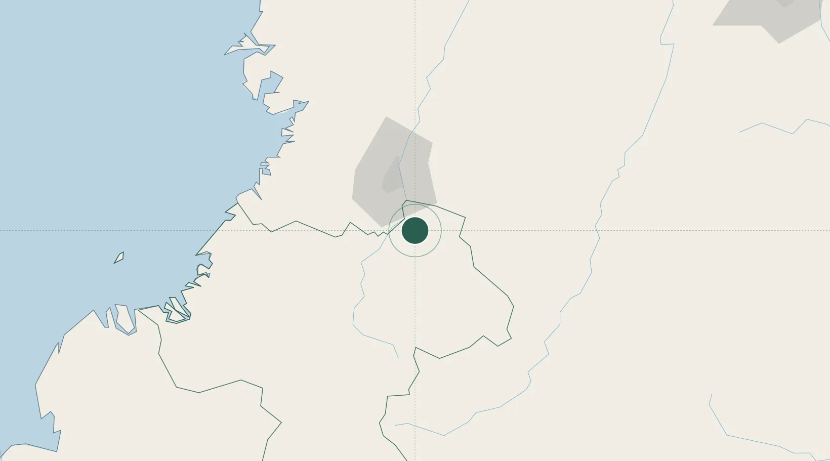
Nearby Logistics Neighbours

Cities
  1. 1Caloto11 km
  2. 2Villa Rica14 km
  3. 3Candelaria30 km
  4. 4Yumbo45 km
  5. 5Cauca76 km
Nearest neighbours — logibook spatial index (haversine) over the source coordinates
Ports
  1. 1Buenaventura113 km
  2. 2Tumaco301 km
  3. 3Esmeraldas434 km
  4. 4Turbo552 km
  5. 5Manta662 km
Nearest neighbours — logibook spatial index (haversine) over the source coordinates
Airports
  1. 1Alfonso Bonilla Aragon International Airport46 km
  2. 2Guillermo León Valencia Airport80 km
  3. 3Gerardo Tobar López Airport102 km
  4. 4Heriberto Gíl Martínez Airport108 km
  5. 5Benito Salas Airport123 km
Nearest neighbours — logibook spatial index (haversine) over the source coordinates
Trade Zones
  1. 1Zona Franca Parque Sur8 km
  2. 2Permanente Del Cauca Permanent Free Trade Zone9 km
  3. 3Zona Franca Zonamerica27 km
  4. 4Palmaseca Free Trade Zone47 km
  5. 5Pacific Free Trade Zone48 km
Nearest neighbours — logibook spatial index (haversine) over the source coordinates
DatabookThe Record of Consolidated Knowledge
Colombia beyond logistics?
Browse databook

All Sources

LocationsUN/LOCODE
UN/LOCODE — free
Portsthe NGA World Port Index
Public domain (US gov)
AirportsOurAirports
Public domain
Trade Zonesthe World Bank SEZ database
CC BY 4.0
Trade ZonesOpen Zone Map
CC BY
← Colombia locations