Free Industrial Zone · Colombia
Surcolombiana Free Trade Zone Active
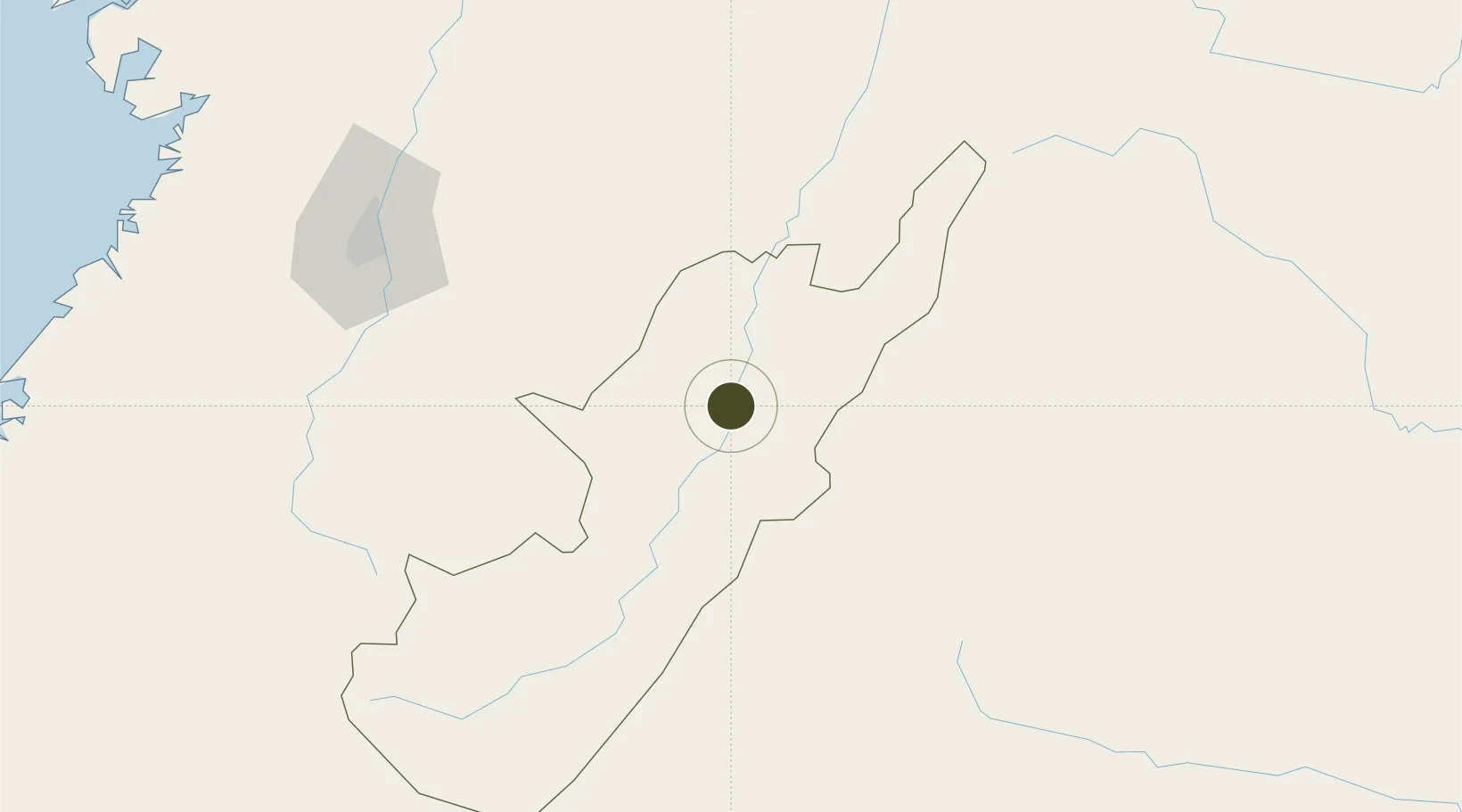
2.9053°, -75.3269°
52 ha
Zone area
221.6 km
Nearest port
6.2 km
Nearest airport
Gateway access
Zone profile
Zone type
Free Industrial Zone
Region
Huila
Status
Active
Established
2011
Management
Private management
Operator
Free Trade Zone Surcolombiana S.A.S.
Regulatory authority
Comision Intersectorial de Zonas Francas
Legal framework
Law 1004/2005 Decree 383 and 4051
Location
Fiscal & incentives
Corporate tax
25%
Tax relief
Reduced fixed-rate at 20%
Relief duration
Perpetual
VAT
No exemption
Import duty (inputs)
100% exempt
Import duty (capex)
100% exempt
Profit repatriation
No exemption
Capital gains
No exemption
Withholding tax
No exemption
Min. investment
$0 - $2.4M in first three years depending on size of company assets
Min. export
0%
Employment incentive
No exemption
Developer incentive
Yes
Nearby Logistics Neighbours
Ports
- 1Buenaventura222 km
- 2Tumaco399 km
- 3Esmeraldas525 km
- 4Turbo596 km
- 5Covenas725 km
Airports
- 1Benito Salas Airport6 km
- 2La Jagua Airport94 km
- 3Eduardo Falla Solano Airport104 km
- 4Alfonso Bonilla Aragon International Airport137 km
- 5Pitalito Airport144 km
Cities
- 1Villa Rica107 km
- 2Caloto120 km
- 3Guachene120 km
- 4Candelaria125 km
- 5Espinal147 km
Trade Zones
- 1Permanente Del Cauca Permanent Free Trade Zone126 km
- 2Zona Franca Parque Sur128 km
- 3Palmaseca Free Trade Zone138 km
- 4Zona Franca Zonamerica141 km
- 5Pacific Free Trade Zone145 km
DatabookThe Record of Consolidated Knowledge
Colombia beyond logistics?