Seaport · Ecuador

EsmeraldasECESM

1.0000°, -79.6500°
9.4 m
Channel depth
18.6
Port liner connectivity
Esmeraldas is also a UN/LOCODE logistics hub →

Channel & Berth Profile

SEA LEVEL (CD)CHANNEL BEDOil terminal · 4.9 mChannel · 9.4 mAnchorage · 11.0 mCargo pier · 11.0 m
NGA World Port Index

Pilotage, Tugs & Services

Pilotage compulsoryYES
Pilotage availableYES
Pilotage advisableYES
Local assistanceYES
Tug assistanceYES
Salvage tugsNO
Shore powerNO
Potable waterYES
Diesel bunkersYES
MedicalYES
Garbage disposalNO
NGA World Port Index

Facilities & Capabilities

Container
Ro-Ro
Liquid bulk
Dry bulk
Oil terminal
Break bulk
Dry dock
Repairs
BunkeringYES
Rail link
Dangerous cargo
ISPS security
NGA World Port Index

Harbour Specifications

Harbour size
Very Small
NGA World Port Index
Harbour type
River (Natural)
NGA World Port Index
Shelter
Fair
NGA World Port Index
Water body
North Pacific Ocean
NGA World Port Index
Tidal range
2.9 m
NGA World Port Index
Overhead limit
No
NGA World Port Index
Pilotage
Yes
NGA World Port Index

Liner Connectivity

18.6
PLSCI

Port Liner Shipping Connectivity Index for Esmeraldas, as published by UNCTAD for the latest available quarter. Higher values indicate stronger scheduled liner-shipping integration.

Shown relative to the highest per-port PLSCI in the dataset (1,657.9).
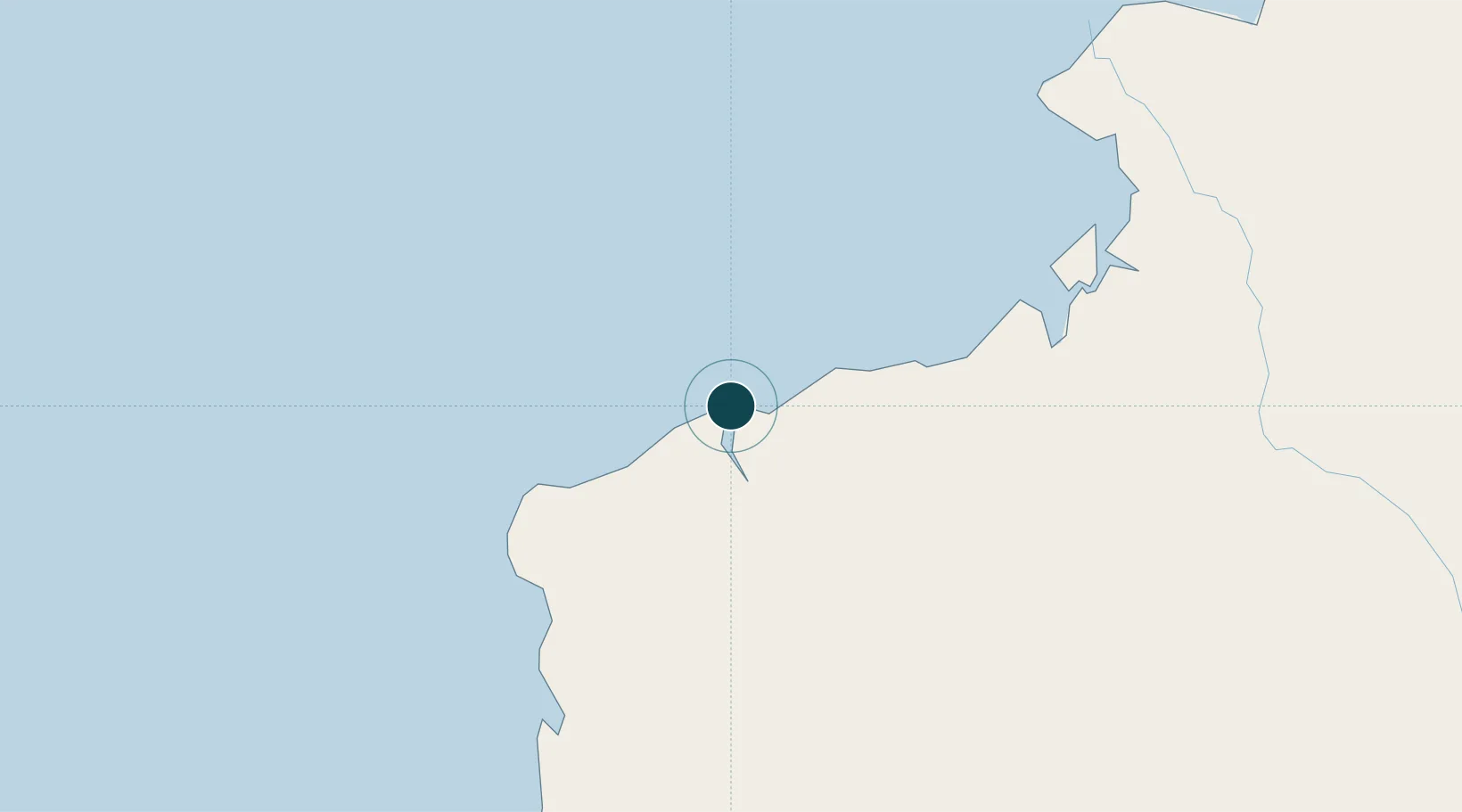
UNCTAD · Port Liner Shipping Connectivity Index

Location

Location of ECESM
Natural Earth 10m (public domain) · Esmeraldas · ECESM · 1.00, -79.65GoogleOSMYandex

Nearby Logistics Neighbours

Ports
  1. 1Tumaco135 km
  2. 2Manta247 km
  3. 3Guayaquil357 km
  4. 4Puerto Maritimo De Guayaquil366 km
  5. 5La Libertad384 km
Nearest neighbours — logibook spatial index (haversine) over the source coordinates
Cities
  1. 1Pedernales48 km
  2. 2Quininde77 km
  3. 3San Lorenzo95 km
  4. 4El Carmen143 km
  5. 5Chambo144 km
Nearest neighbours — logibook spatial index (haversine) over the source coordinates
Airports
  1. 1Carlos Concha Torres International Airport4 km
  2. 2La Florida Airport135 km
  3. 3Mariscal Sucre International Airport191 km
  4. 4Lieutenant Colonel Luis A. Mantilla International Airport217 km
  5. 5San Luis Airport221 km
Nearest neighbours — logibook spatial index (haversine) over the source coordinates
Trade Zones
  1. 1Zona Franca Mitad del Mundo169 km
  2. 2Zona Franca Millestonecorp184 km
  3. 3Corpaq Tabalela (Quiport)190 km
  4. 4Metrozona Quito193 km
  5. 5Zona Franca de Manta250 km
Nearest neighbours — logibook spatial index (haversine) over the source coordinates
DatabookThe Record of Consolidated Knowledge
Ecuador beyond logistics?
Browse databook

All Sources

Portsthe NGA World Port Index
Public domain (US gov)
Logistics performanceUNCTAD
CC BY 3.0 IGO
AirportsOurAirports
Public domain
LocationsUN/LOCODE
UN/LOCODE — free
Trade Zonesthe World Bank SEZ database
CC BY 4.0
Trade ZonesOpen Zone Map
CC BY
← Ecuador ports