Runway & Layout

Airport Specifications
ICAO code
SKGZ
Airport class
Small airport
Scheduled service
Yes
Served city
Garzón
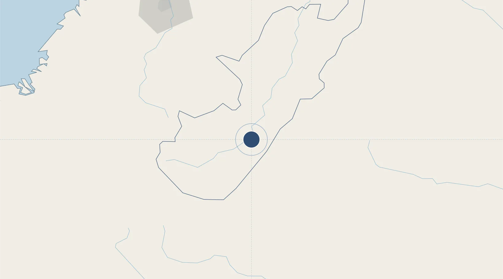
Location
Nearby Logistics Neighbours
Airports
- 1Pitalito Airport54 km
- 2Gustavo Artunduaga Paredes Airport64 km
- 3Benito Salas Airport100 km
- 4Eduardo Falla Solano Airport103 km
- 5Guillermo León Valencia Airport107 km
Cities
- 1Villa Rica124 km
- 2Caloto126 km
- 3Cauca128 km
- 4Guachene134 km
- 5Puerto Limón151 km
Ports
- 1Buenaventura246 km
- 2Tumaco342 km
- 3Esmeraldas458 km
- 4Manta656 km
- 5Turbo670 km
Trade Zones
DatabookThe Record of Consolidated Knowledge
Colombia beyond logistics?