Medium airport · Colombia

Gustavo Artunduaga Paredes AirportSKFL
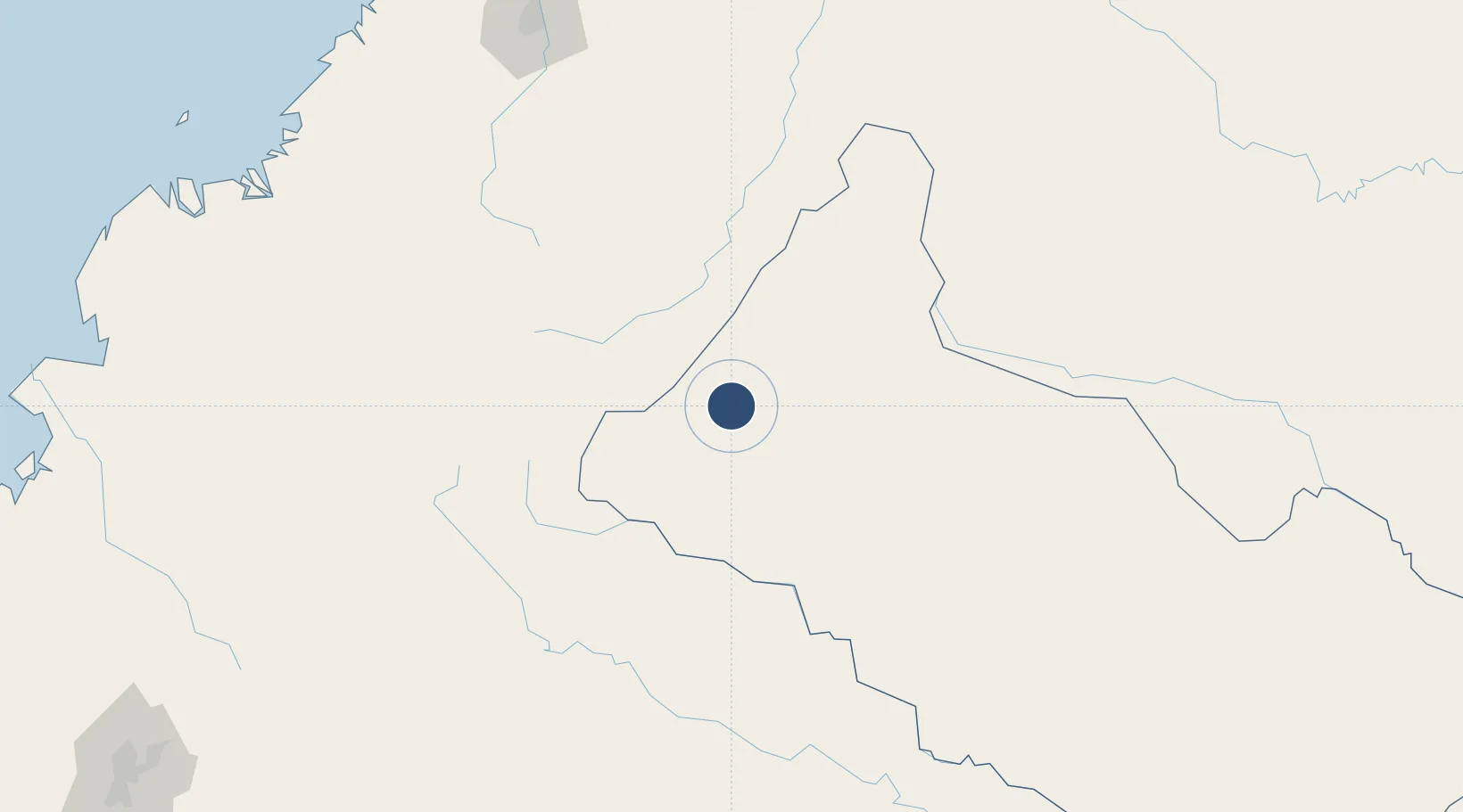
1.5892°, -75.5644°
4,921 ft
Longest runway
1
Runways
803 ft
Elevation

Runway & Layout

Gustavo Artunduaga Paredes Airport runway & taxiway layout
Runway & taxiway layout — OpenStreetMap (ODbL) / OurAirports

Radio Frequencies

TWR
118.3 MHz
A/G
348.8 MHz
FLORENCIA RDO
OurAirports

Navaids

FLA VOR-DME Florencia 112.40 MHz
OurAirports

Runways · 1

RunwayDimensions SurfaceTrue headingLit
12/30 4,921 × 98ft Asphalt 116°
OurAirports

Airport Specifications

IATA code
FLA
OurAirports
ICAO code
SKFL
OurAirports
Airport class
Medium airport
OurAirports
Scheduled service
Yes
OurAirports
Runway surface
Asphalt
OurAirports
Served city
Florencia
OurAirports

Location

Location of SKFL
Natural Earth 10m (public domain) · Caquetá · SKFL · 1.59, -75.56GoogleOSMYandex

Nearby Logistics Neighbours

Airports
  1. 1La Jagua Airport64 km
  2. 2Pitalito Airport65 km
  3. 3Captain Ernesto Esguerra Cubides Air Base101 km
  4. 4Eduardo Falla Solano Airport109 km
  5. 5Guillermo León Valencia Airport151 km
Nearest neighbours — logibook spatial index (haversine) over the source coordinates
Cities
  1. 1Puerto Limón120 km
  2. 2Puerto Asís158 km
  3. 3Cauca172 km
  4. 4Villa Rica185 km
  5. 5Caloto186 km
Nearest neighbours — logibook spatial index (haversine) over the source coordinates
Ports
  1. 1Buenaventura305 km
  2. 2Tumaco355 km
  3. 3Esmeraldas459 km
  4. 4Manta639 km
  5. 5Guayaquil639 km
Nearest neighbours — logibook spatial index (haversine) over the source coordinates
Trade Zones
  1. 1Surcolombiana Free Trade Zone149 km
  2. 2Zona Franca Parque Sur201 km
  3. 3Permanente Del Cauca Permanent Free Trade Zone204 km
  4. 4Zona Franca Zonamerica221 km
  5. 5Palmaseca Free Trade Zone237 km
Nearest neighbours — logibook spatial index (haversine) over the source coordinates
DatabookThe Record of Consolidated Knowledge
Colombia beyond logistics?
Browse databook

All Sources

AirportsOurAirports
Public domain
Portsthe NGA World Port Index
Public domain (US gov)
LocationsUN/LOCODE
UN/LOCODE — free
Trade Zonesthe World Bank SEZ database
CC BY 4.0
Trade ZonesOpen Zone Map
CC BY
InfrastructureOpenStreetMap
ODbL 1.0
← Colombia airports