Channel & Berth Profile
Pilotage, Tugs & Services
Pilotage availableYES
Potable waterYES
Diesel bunkersNO
MedicalYES
Facilities & Capabilities
Container—
Ro-Ro—
Liquid bulk—
Dry bulk—
Oil terminal—
Break bulk—
Dry dock—
RepairsNO
BunkeringYES
Rail link—
Dangerous cargo—
ISPS security—
Harbour Specifications
Harbour size
Very Small
Harbour type
River (Natural)
Shelter
Excellent
Water body
South Pacific Ocean
Tidal range
2.4 m
Liner Connectivity
12.2
PLSCI
Port Liner Shipping Connectivity Index for Iquitos, as published by UNCTAD for the latest available quarter. Higher values indicate stronger scheduled liner-shipping integration.
Shown relative to the highest per-port PLSCI in the dataset (1,657.9).
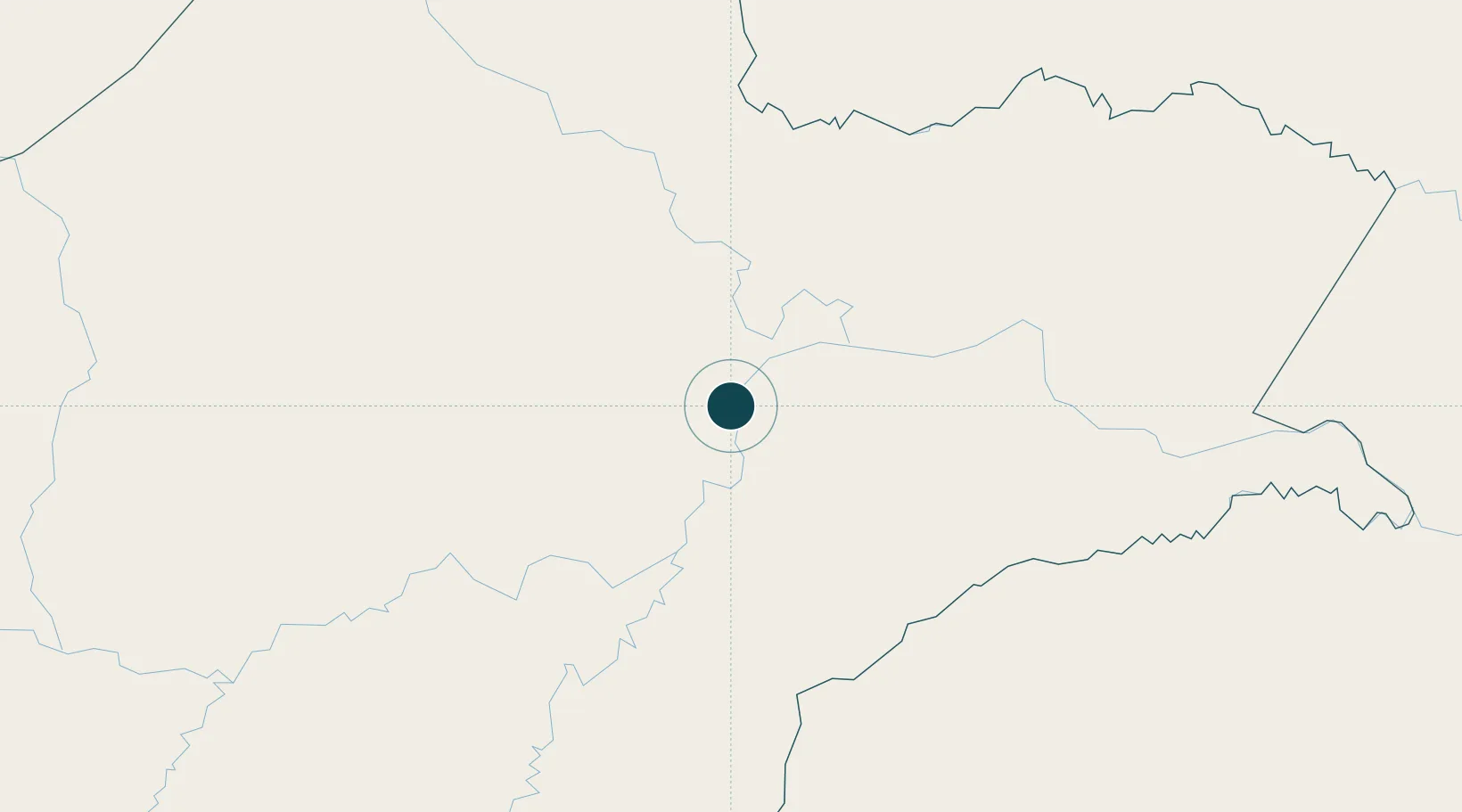
Location
Nearby Logistics Neighbours
Ports
- 1Puerto Bolivar753 km
- 2Puerto Maritimo De Guayaquil758 km
- 3Guayaquil758 km
- 4Salaverry808 km
- 5Pimentel817 km
Cities
- 1Arica246 km
- 2Lagunas315 km
- 3Benjamin Constant363 km
- 4Simon Bolivar365 km
- 5Tabatinga370 km
Airports
Trade Zones
- 1Metrozona Quito695 km
- 2Corpaq Tabalela (Quiport)698 km
- 3Zona Franca Millestonecorp706 km
- 4Zona Franca Mitad del Mundo719 km
- 5Zona Franca del Oro743 km
DatabookThe Record of Consolidated Knowledge
Peru beyond logistics?