Runway & Layout

Airport Specifications
IATA code
LMC
ICAO code
SKNA
Airport class
Small airport
Scheduled service
Yes
Served city
La Macarena
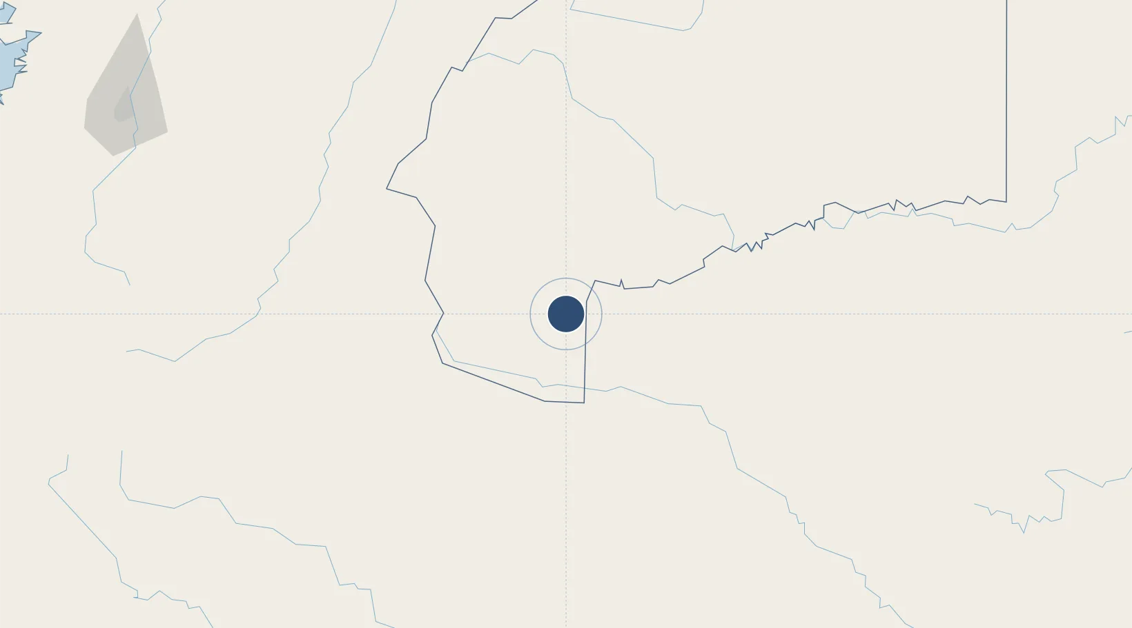
Location
Nearby Logistics Neighbours
Airports
- 1Eduardo Falla Solano Airport109 km
- 2Jorge E. Gonzalez Torres Airport135 km
- 3Benito Salas Airport188 km
- 4Gustavo Artunduaga Paredes Airport208 km
- 5La Jagua Airport212 km
Cities
- 1Acacías201 km
- 2Espinal251 km
- 3Bogotá283 km
- 4Villa Rica294 km
- 5Cota296 km
Ports
- 1Buenaventura411 km
- 2Tumaco553 km
- 3Iquitos662 km
- 4Esmeraldas665 km
- 5Turbo733 km
Trade Zones
- 1Surcolombiana Free Trade Zone189 km
- 2Bogota Free Trade Zone281 km
- 3Zona Franca de Ibagué284 km
- 4Occidente Free Trade Zone287 km
- 5Zona Franca INTEXZONA289 km
DatabookThe Record of Consolidated Knowledge
Colombia beyond logistics?