Transport Functions
Rail
Hub Profile
Place type
Provincial seat
Region
Cauca Department
Time zone
America/Bogota
Elevation
971 m
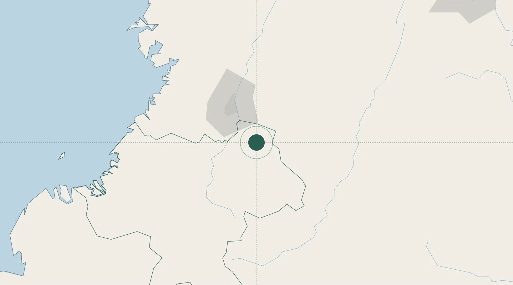
Location
Nearby Logistics Neighbours
Cities
- 1Guachene14 km
- 2Caloto17 km
- 3Candelaria34 km
- 4Yumbo54 km
- 5Cauca81 km
Ports
- 1Buenaventura124 km
- 2Tumaco311 km
- 3Esmeraldas443 km
- 4Turbo557 km
- 5Manta669 km
Airports
Trade Zones
DatabookThe Record of Consolidated Knowledge
Colombia beyond logistics?