Medium airport · Colombia

Benito Salas AirportSKNV
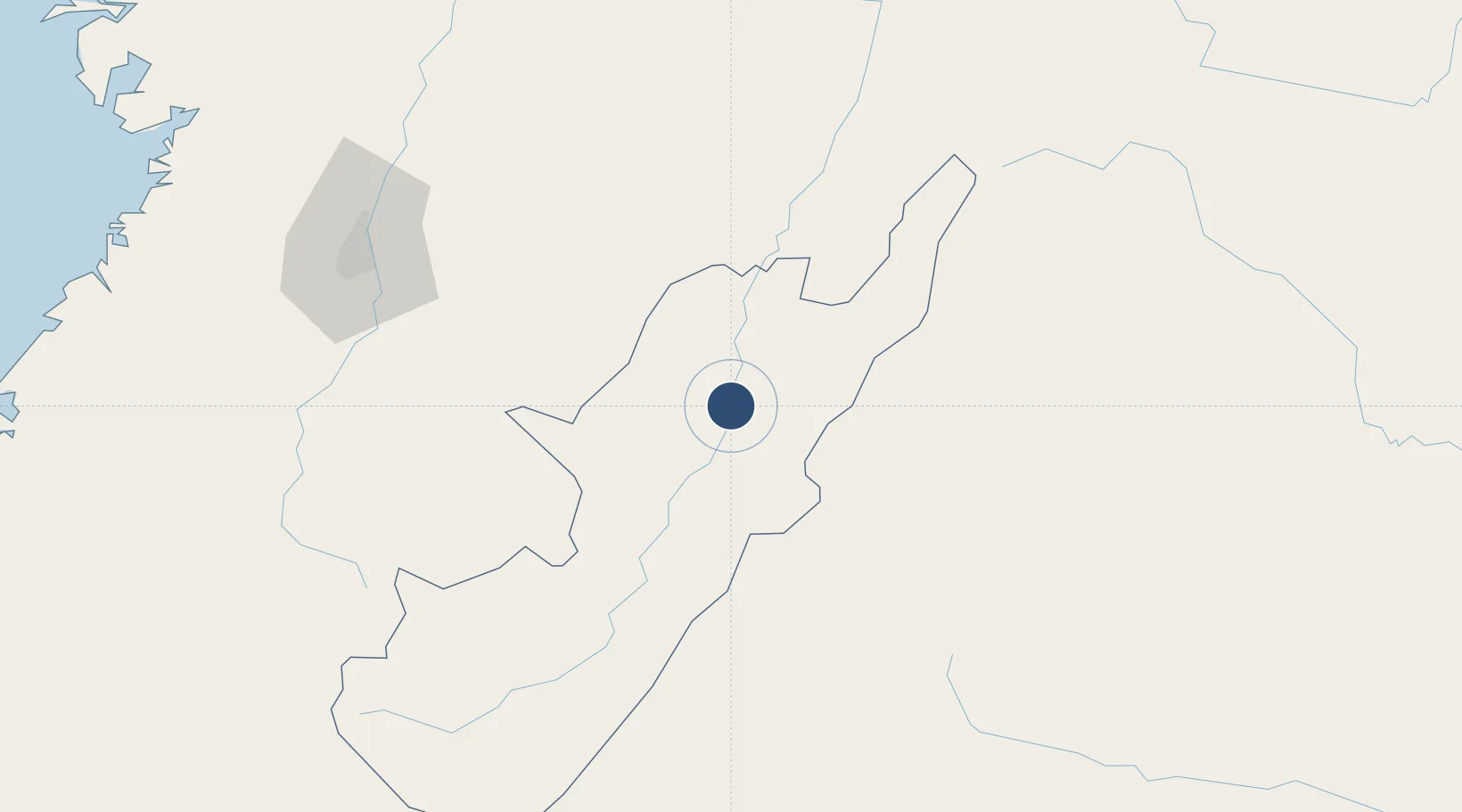
2.9501°, -75.2940°
5,880 ft
Longest runway
1
Runways
1,464 ft
Elevation

Runway & Layout

Benito Salas Airport runway & taxiway layout
Runway & taxiway layout — OpenStreetMap (ODbL) / OurAirports

Radio Frequencies

TWR
118.25 MHz
INFO
127.1 MHz
NEIVA FIS
RDO
348.8 MHz
NEIVA RDO
OurAirports

Navaids

NVA VOR-DME Neiva 115.80 MHz
OurAirports

Runways · 1

RunwayDimensions SurfaceTrue headingLit
02/20 5,880 × 131ft Asphalt 014°
OurAirports

Airport Specifications

IATA code
NVA
OurAirports
ICAO code
SKNV
OurAirports
Airport class
Medium airport
OurAirports
Scheduled service
Yes
OurAirports
Runway surface
Asphalt
OurAirports
Served city
Neiva
OurAirports

Location

Location of SKNV
Natural Earth 10m (public domain) · Huila · SKNV · 2.95, -75.29GoogleOSMYandex

Nearby Logistics Neighbours

Airports
  1. 1La Jagua Airport100 km
  2. 2Eduardo Falla Solano Airport106 km
  3. 3Alfonso Bonilla Aragon International Airport138 km
  4. 4Pitalito Airport150 km
  5. 5Gustavo Artunduaga Paredes Airport154 km
Nearest neighbours — logibook spatial index (haversine) over the source coordinates
Cities
  1. 1Villa Rica109 km
  2. 2Guachene123 km
  3. 3Caloto123 km
  4. 4Candelaria126 km
  5. 5Espinal141 km
Nearest neighbours — logibook spatial index (haversine) over the source coordinates
Ports
  1. 1Buenaventura222 km
  2. 2Tumaco404 km
  3. 3Esmeraldas530 km
  4. 4Turbo593 km
  5. 5Covenas720 km
Nearest neighbours — logibook spatial index (haversine) over the source coordinates
Trade Zones
  1. 1Surcolombiana Free Trade Zone6 km
  2. 2Permanente Del Cauca Permanent Free Trade Zone129 km
  3. 3Zona Franca Parque Sur131 km
  4. 4Palmaseca Free Trade Zone139 km
  5. 5Zona Franca Zonamerica143 km
Nearest neighbours — logibook spatial index (haversine) over the source coordinates
DatabookThe Record of Consolidated Knowledge
Colombia beyond logistics?
Browse databook

All Sources

AirportsOurAirports
Public domain
Portsthe NGA World Port Index
Public domain (US gov)
LocationsUN/LOCODE
UN/LOCODE — free
Trade Zonesthe World Bank SEZ database
CC BY 4.0
Trade ZonesOpen Zone Map
CC BY
InfrastructureOpenStreetMap
ODbL 1.0
← Colombia airports