Transport Functions
Multimodal
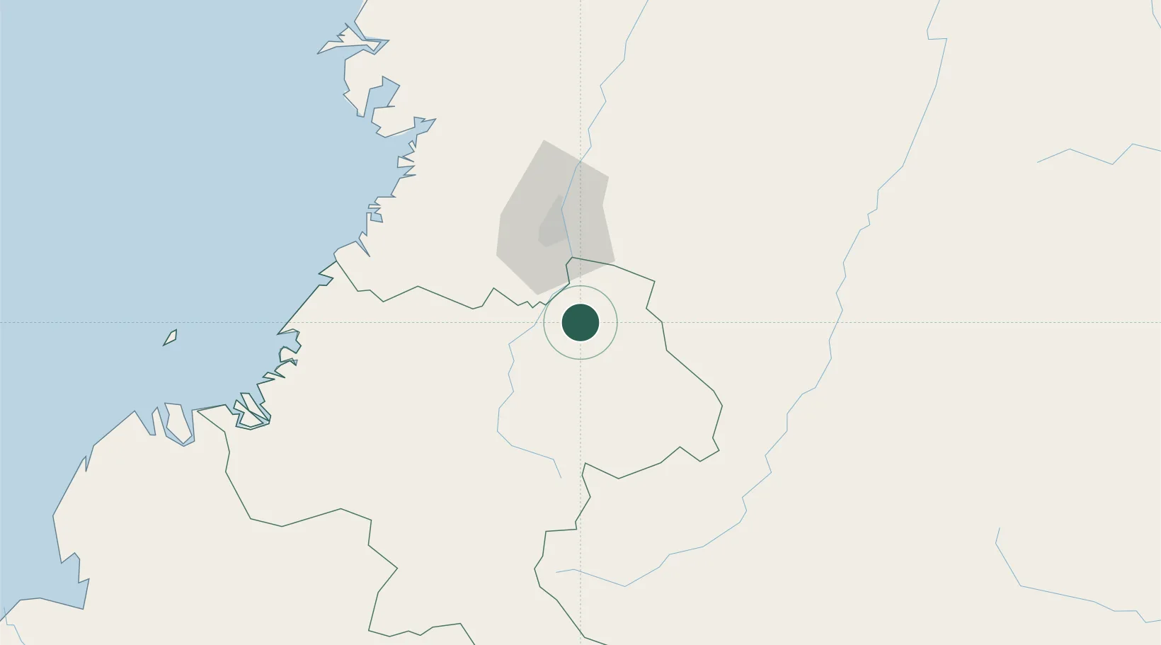
Hub Profile
Place type
Provincial seat
Region
Cauca Department
Population
6,478
Time zone
America/Bogota
Elevation
1,095 m
Location
Nearby Logistics Neighbours
Cities
- 1Guachene11 km
- 2Villa Rica17 km
- 3Candelaria41 km
- 4Yumbo55 km
- 5Cauca66 km
Ports
- 1Buenaventura120 km
- 2Tumaco294 km
- 3Esmeraldas426 km
- 4Turbo563 km
- 5Manta653 km
Airports
Trade Zones
DatabookThe Record of Consolidated Knowledge
Colombia beyond logistics?