Free Industrial Zone · Colombia

Palmaseca Free Trade Zone Active
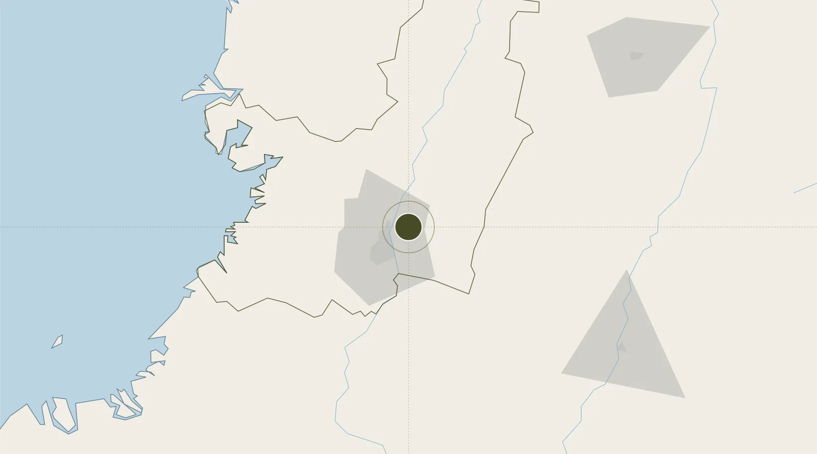
3.5570°, -76.3857°
55 ha
Zone area
83.8 km
Nearest port
1.6 km
Nearest airport

Gateway access

Nearest neighbours — logibook spatial index (haversine) over the source coordinates

Zone profile

Zone type
Free Industrial Zone
the World Bank SEZ database
Region
Valle del Cauca
the World Bank SEZ database
Status
Active
the World Bank SEZ database
Established
1994
the World Bank SEZ database
Management
Private management
the World Bank SEZ database
Operator
Palmaseca Free Trade Zone S.A.
the World Bank SEZ database
Regulatory authority
Comision Intersectorial de Zonas Francas
the World Bank SEZ database
Legal framework
Law 1004/2005 Decree 383 and 4051
the World Bank SEZ database

Location

Location of COL5
Natural Earth 10m (public domain) · Valle del Cauca · COL5 · 3.56, -76.39GoogleOSMYandex

Fiscal & incentives

Corporate tax
25%
the World Bank SEZ database
Tax relief
Reduced fixed-rate at 20%
the World Bank SEZ database
Relief duration
Perpetual
the World Bank SEZ database
VAT
No exemption
the World Bank SEZ database
Import duty (inputs)
100% exempt
the World Bank SEZ database
Import duty (capex)
100% exempt
the World Bank SEZ database
Profit repatriation
No exemption
the World Bank SEZ database
Capital gains
No exemption
the World Bank SEZ database
Withholding tax
No exemption
the World Bank SEZ database
Min. investment
$0 - $2.4M in first three years depending on size of company assets
the World Bank SEZ database
Min. export
0%
the World Bank SEZ database
Employment incentive
No exemption
the World Bank SEZ database
Developer incentive
Yes
the World Bank SEZ database

Nearby Logistics Neighbours

Ports
  1. 1Buenaventura84 km
  2. 2Tumaco326 km
  3. 3Esmeraldas461 km
  4. 4Turbo505 km
  5. 5Covenas656 km
Nearest neighbours — logibook spatial index (haversine) over the source coordinates
Airports
  1. 1Alfonso Bonilla Aragon International Airport2 km
  2. 2Heriberto Gíl Martínez Airport61 km
  3. 3Gerardo Tobar López Airport73 km
  4. 4El Eden Airport121 km
  5. 5Guillermo León Valencia Airport125 km
Nearest neighbours — logibook spatial index (haversine) over the source coordinates
Cities
  1. 1Yumbo15 km
  2. 2Candelaria18 km
  3. 3Guachene47 km
  4. 4Villa Rica53 km
  5. 5Caloto58 km
Nearest neighbours — logibook spatial index (haversine) over the source coordinates
Trade Zones
  1. 1Pacific Free Trade Zone7 km
  2. 2Zona Franca Zonamerica30 km
  3. 3Permanente Del Cauca Permanent Free Trade Zone39 km
  4. 4Zona Franca Parque Sur44 km
  5. 5Celpa Permanent Free Trade Zone75 km
Nearest neighbours — logibook spatial index (haversine) over the source coordinates
DatabookThe Record of Consolidated Knowledge
Colombia beyond logistics?
Browse databook

All Sources

Trade Zonesthe World Bank SEZ database
CC BY 4.0
Portsthe NGA World Port Index
Public domain (US gov)
AirportsOurAirports
Public domain
LocationsUN/LOCODE
UN/LOCODE — free
← Colombia trade zones