Transport Functions
Multimodal
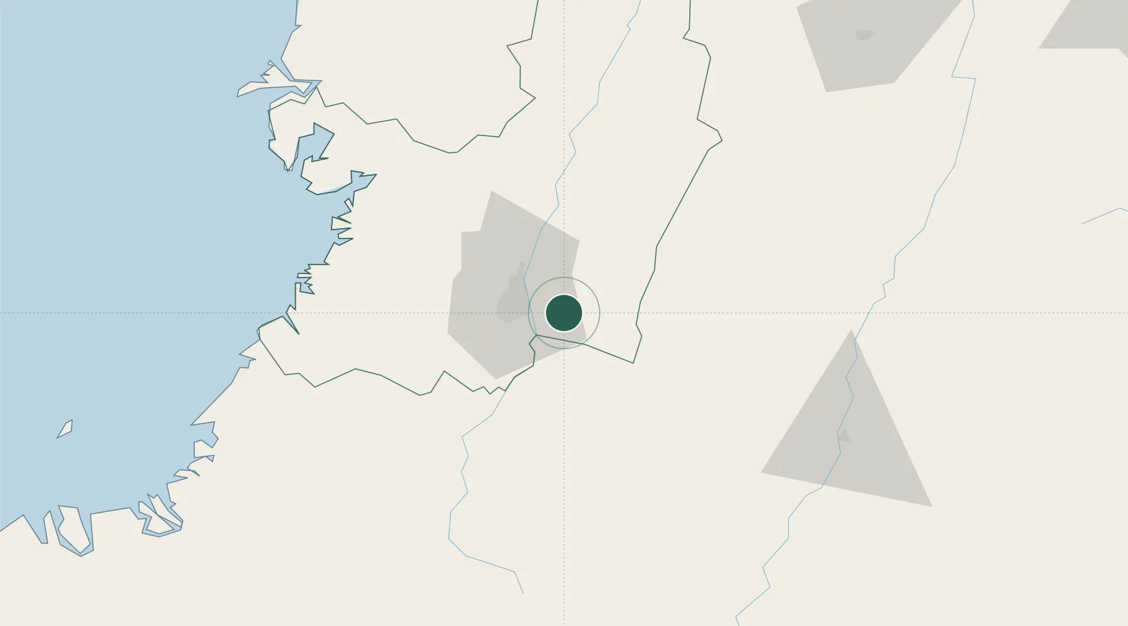
Hub Profile
Place type
Provincial seat
Region
Valle del Cauca Department
Population
23,989
Time zone
America/Bogota
Elevation
977 m
Location
Nearby Logistics Neighbours
Cities
- 1Yumbo24 km
- 2Guachene30 km
- 3Villa Rica34 km
- 4Caloto41 km
- 5Galicia91 km
Ports
- 1Buenaventura98 km
- 2Tumaco321 km
- 3Esmeraldas455 km
- 4Turbo523 km
- 5Covenas673 km
Airports
Trade Zones
DatabookThe Record of Consolidated Knowledge
Colombia beyond logistics?