Free Trade Zone · Colombia

Zona Franca Zonamerica Active
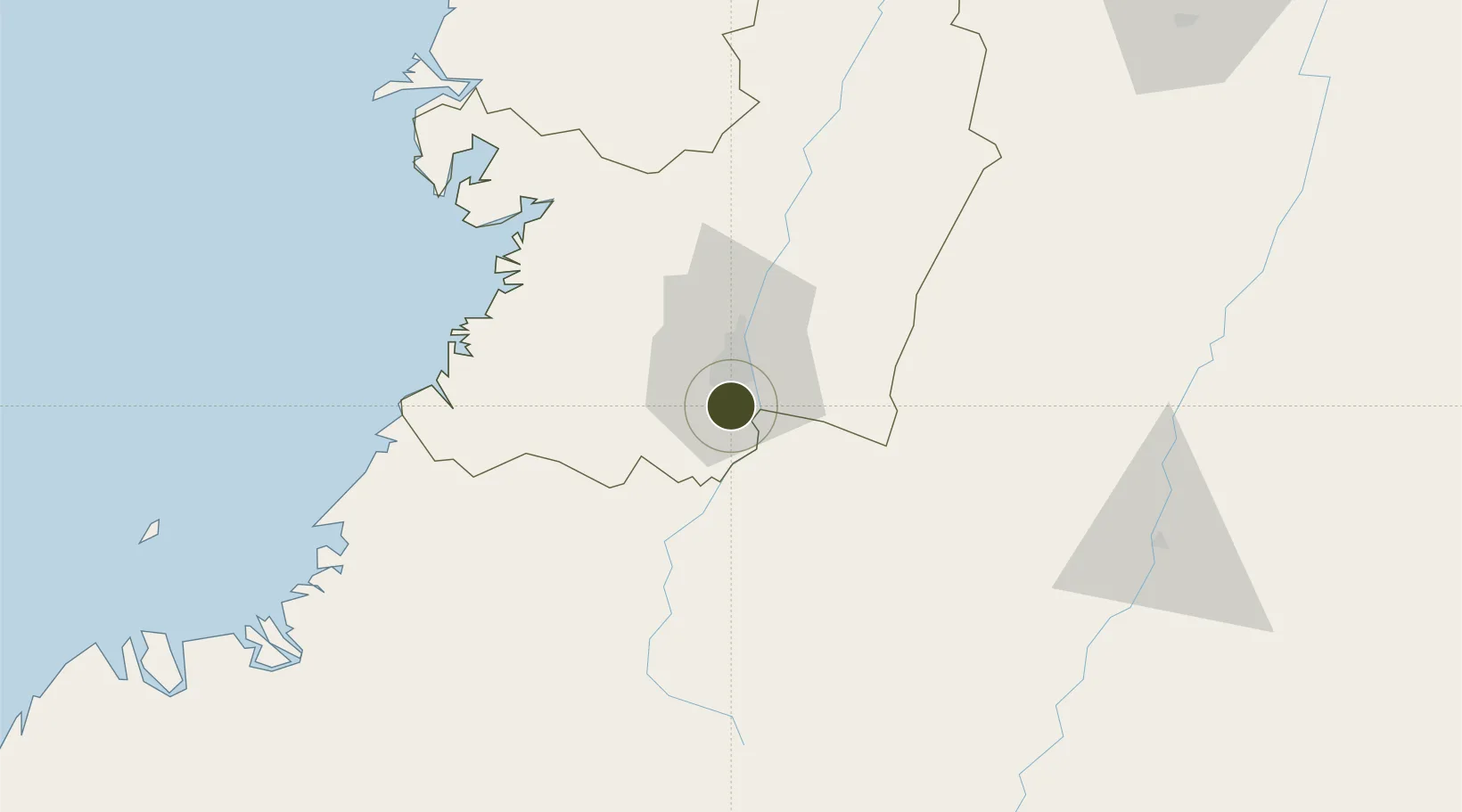
3.3280°, -76.5213°
38 ha
Zone area
86.5 km
Nearest port
28.5 km
Nearest airport

Gateway access

Nearest neighbours — logibook spatial index (haversine) over the source coordinates

Zone profile

Zone type
Free Trade Zone
Open Zone Map
Region
Valle del Cauca
Open Zone Map
Status
Active
Open Zone Map
Management
Private
Open Zone Map
Operator
Zonamerica Usuario Operador de Zona Franca, SAS
Open Zone Map
Legal framework
Law 1004/2005 Decree 383 and 4051
Open Zone Map

Location

Location of ozm-1634
Natural Earth 10m (public domain) · Valle del Cauca · ozm-1634 · 3.33, -76.52GoogleOSMYandex

Nearby Logistics Neighbours

Ports
  1. 1Buenaventura87 km
  2. 2Tumaco299 km
  3. 3Esmeraldas433 km
  4. 4Turbo529 km
  5. 5Manta666 km
Nearest neighbours — logibook spatial index (haversine) over the source coordinates
Airports
  1. 1Alfonso Bonilla Aragon International Airport29 km
  2. 2Gerardo Tobar López Airport75 km
  3. 3Heriberto Gíl Martínez Airport90 km
  4. 4Guillermo León Valencia Airport98 km
  5. 5Benito Salas Airport143 km
Nearest neighbours — logibook spatial index (haversine) over the source coordinates
Cities
  1. 1Yumbo21 km
  2. 2Candelaria22 km
  3. 3Guachene27 km
  4. 4Caloto35 km
  5. 5Villa Rica38 km
Nearest neighbours — logibook spatial index (haversine) over the source coordinates
Trade Zones
  1. 1Permanente Del Cauca Permanent Free Trade Zone17 km
  2. 2Zona Franca Parque Sur20 km
  3. 3Pacific Free Trade Zone27 km
  4. 4Palmaseca Free Trade Zone30 km
  5. 5Celpa Permanent Free Trade Zone80 km
Nearest neighbours — logibook spatial index (haversine) over the source coordinates
DatabookThe Record of Consolidated Knowledge
Colombia beyond logistics?
Browse databook

All Sources

Trade ZonesOpen Zone Map
CC BY
Portsthe NGA World Port Index
Public domain (US gov)
AirportsOurAirports
Public domain
LocationsUN/LOCODE
UN/LOCODE — free
← Colombia trade zones