Medium airport · Colombia

Pitalito AirportSKPI
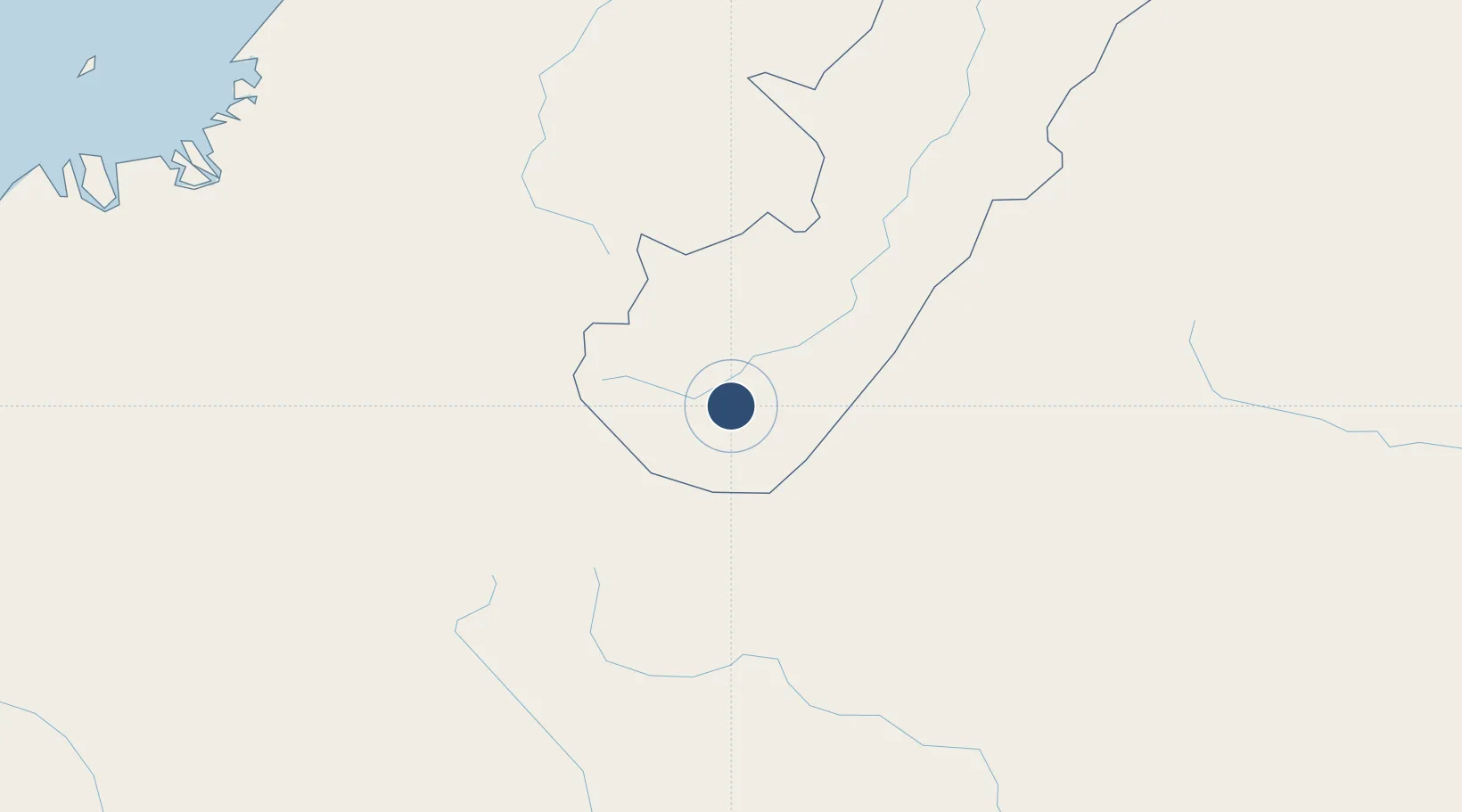
1.8578°, -76.0857°
4,912 ft
Longest runway
1
Runways
4,212 ft
Elevation

Runway & Layout

Pitalito Airport runway & taxiway layout
Runway & taxiway layout — OpenStreetMap (ODbL) / OurAirports

Radio Frequencies

TWR
118.4 MHz
RDO
348.8 MHz
OurAirports

Runways · 1

RunwayDimensions SurfaceTrue headingLit
06/24 4,912 × 98ft Asphalt 060°
OurAirports

Airport Specifications

IATA code
PTX
OurAirports
ICAO code
SKPI
OurAirports
Airport class
Medium airport
OurAirports
Scheduled service
No
OurAirports
Runway surface
Asphalt
OurAirports
Served city
Pitalito
OurAirports

Location

Location of SKPI
Natural Earth 10m (public domain) · Huila · SKPI · 1.86, -76.09GoogleOSMYandex

Nearby Logistics Neighbours

Airports
  1. 1La Jagua Airport54 km
  2. 2Gustavo Artunduaga Paredes Airport65 km
  3. 3Guillermo León Valencia Airport88 km
  4. 4Antonio Nariño Airport143 km
  5. 5Benito Salas Airport150 km
Nearest neighbours — logibook spatial index (haversine) over the source coordinates
Cities
  1. 1Puerto Limón101 km
  2. 2Cauca109 km
  3. 3Balboa127 km
  4. 4Caloto135 km
  5. 5Villa Rica140 km
Nearest neighbours — logibook spatial index (haversine) over the source coordinates
Ports
  1. 1Buenaventura250 km
  2. 2Tumaco296 km
  3. 3Esmeraldas408 km
  4. 4Manta602 km
  5. 5Guayaquil618 km
Nearest neighbours — logibook spatial index (haversine) over the source coordinates
Trade Zones
  1. 1Surcolombiana Free Trade Zone144 km
  2. 2Zona Franca Parque Sur151 km
  3. 3Permanente Del Cauca Permanent Free Trade Zone155 km
  4. 4Zona Franca Zonamerica171 km
  5. 5Palmaseca Free Trade Zone192 km
Nearest neighbours — logibook spatial index (haversine) over the source coordinates
DatabookThe Record of Consolidated Knowledge
Colombia beyond logistics?
Browse databook

All Sources

AirportsOurAirports
Public domain
Portsthe NGA World Port Index
Public domain (US gov)
LocationsUN/LOCODE
UN/LOCODE — free
Trade Zonesthe World Bank SEZ database
CC BY 4.0
Trade ZonesOpen Zone Map
CC BY
InfrastructureOpenStreetMap
ODbL 1.0
← Colombia airports