Medium airport · Colombia

Heriberto Gíl Martínez AirportSKUL
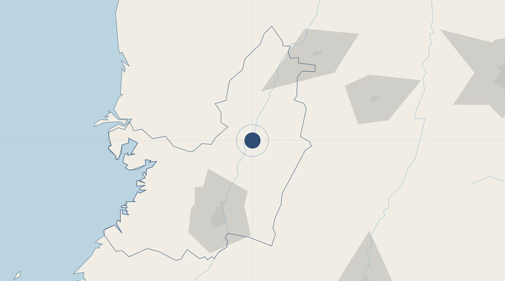
4.0884°, -76.2351°
3,495 ft
Longest runway
1
Runways
3,132 ft
Elevation

Runway & Layout

Heriberto Gíl Martínez Airport runway & taxiway layout
Runway & taxiway layout — OpenStreetMap (ODbL) / OurAirports

Radio Frequencies

TWR
118.6 MHz
APP
119.1 MHz
CALI APP
OurAirports

Navaids

ULQ VOR-DME Tulua 117.70 MHz
OurAirports

Runways · 1

RunwayDimensions SurfaceTrue headingLit
01/19 3,495 × 100ft Asphalt 011°
OurAirports

Airport Specifications

IATA code
ULQ
OurAirports
ICAO code
SKUL
OurAirports
Airport class
Medium airport
OurAirports
Scheduled service
No
OurAirports
Runway surface
Asphalt
OurAirports
Served city
Tuluá
OurAirports

Location

Location of SKUL
Natural Earth 10m (public domain) · Valle del Cauca · SKUL · 4.09, -76.24GoogleOSMYandex

Nearby Logistics Neighbours

Airports
  1. 1Alfonso Bonilla Aragon International Airport63 km
  2. 2El Eden Airport66 km
  3. 3Santa Ana Airport81 km
  4. 4Gerardo Tobar López Airport89 km
  5. 5Matecaña International Airport98 km
Nearest neighbours — logibook spatial index (haversine) over the source coordinates
Cities
  1. 1Galicia22 km
  2. 2Yumbo70 km
  3. 3Candelaria77 km
  4. 4Buenaventura92 km
  5. 5Guachene108 km
Nearest neighbours — logibook spatial index (haversine) over the source coordinates
Ports
  1. 1Buenaventura95 km
  2. 2Tumaco377 km
  3. 3Turbo448 km
  4. 4Esmeraldas512 km
  5. 5Covenas596 km
Nearest neighbours — logibook spatial index (haversine) over the source coordinates
Trade Zones
  1. 1Palmaseca Free Trade Zone61 km
  2. 2Pacific Free Trade Zone63 km
  3. 3Quindío Zona Franca66 km
  4. 4Celpa Permanent Free Trade Zone85 km
  5. 5Zona Franca Zonamerica90 km
Nearest neighbours — logibook spatial index (haversine) over the source coordinates
DatabookThe Record of Consolidated Knowledge
Colombia beyond logistics?
Browse databook

All Sources

AirportsOurAirports
Public domain
Portsthe NGA World Port Index
Public domain (US gov)
LocationsUN/LOCODE
UN/LOCODE — free
Trade Zonesthe World Bank SEZ database
CC BY 4.0
Trade ZonesOpen Zone Map
CC BY
InfrastructureOpenStreetMap
ODbL 1.0
← Colombia airports