Transport Functions
Multimodal
Hub Profile
Place type
Provincial seat
Region
Meta Department
Population
40,627
Time zone
America/Bogota
Elevation
530 m
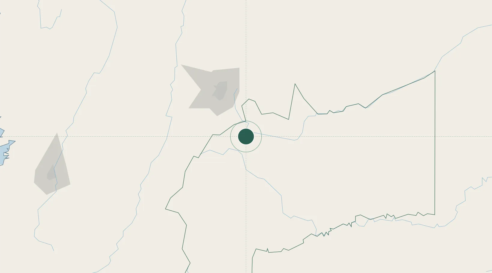
Location
Nearby Logistics Neighbours
Ports
- 1Buenaventura368 km
- 2Turbo563 km
- 3Tumaco605 km
- 4Covenas641 km
- 5Covenas Offshore Term.651 km
Airports
- 1Gomez Nino Apiay Air Base23 km
- 2Vanguardia Airport26 km
- 3El Dorado International Airport91 km
- 4Santiago Vila Airport121 km
- 5Perales Airport161 km
Trade Zones
- 1Bogota Free Trade Zone89 km
- 2Metropolitana Free Trade Zone96 km
- 3Zona Franca INTEXZONA97 km
- 4Celta Trade Park97 km
- 5Occidente Free Trade Zone98 km
DatabookThe Record of Consolidated Knowledge
Colombia beyond logistics?