Free Trade Zone · Colombia

Zona Franca INTEXZONA Active
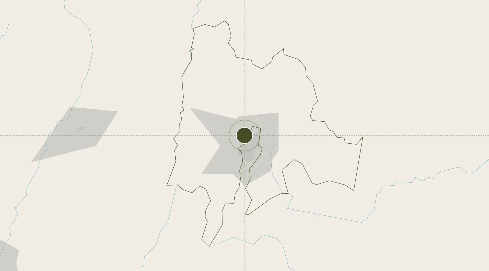
4.7476°, -74.1626°
82 ha
Zone area
336.0 km
Nearest port
5.4 km
Nearest airport

Gateway access

Nearest neighbours — logibook spatial index (haversine) over the source coordinates

Zone profile

Zone type
Free Trade Zone
Open Zone Map
Region
Cundinamarca
Open Zone Map
Status
Active
Open Zone Map
Management
Private
Open Zone Map
Operator
Zona Franca INTEXZONA, SA
Open Zone Map
Legal framework
Law 1004/2005 Decree 383 and 4051
Open Zone Map

Location

Location of ozm-1650
Natural Earth 10m (public domain) · Cundinamarca · ozm-1650 · 4.75, -74.16GoogleOSMYandex

Nearby Logistics Neighbours

Ports
  1. 1Buenaventura336 km
  2. 2Turbo467 km
  3. 3Covenas546 km
  4. 4Covenas Offshore Term.556 km
  5. 5Tumaco605 km
Nearest neighbours — logibook spatial index (haversine) over the source coordinates
Airports
  1. 1El Dorado International Airport5 km
  2. 2Santiago Vila Airport88 km
  3. 3Vanguardia Airport89 km
  4. 4Mariquita Airport95 km
  5. 5German Olano Air Base99 km
Nearest neighbours — logibook spatial index (haversine) over the source coordinates
Cities
  1. 1Bogotá6 km
  2. 2Cota10 km
  3. 3Chia17 km
  4. 4Cajica24 km
  5. 5Tocancipá37 km
Nearest neighbours — logibook spatial index (haversine) over the source coordinates
Trade Zones
  1. 1Celta Trade Park1 km
  2. 2Metropolitana Free Trade Zone2 km
  3. 3Bogota Free Trade Zone8 km
  4. 4Occidente Free Trade Zone9 km
  5. 5Zona Franca de Tocancipa33 km
Nearest neighbours — logibook spatial index (haversine) over the source coordinates
DatabookThe Record of Consolidated Knowledge
Colombia beyond logistics?
Browse databook

All Sources

Trade ZonesOpen Zone Map
CC BY
Portsthe NGA World Port Index
Public domain (US gov)
AirportsOurAirports
Public domain
LocationsUN/LOCODE
UN/LOCODE — free
← Colombia trade zones