Medium airport · Colombia
Mariquita AirportSKQU
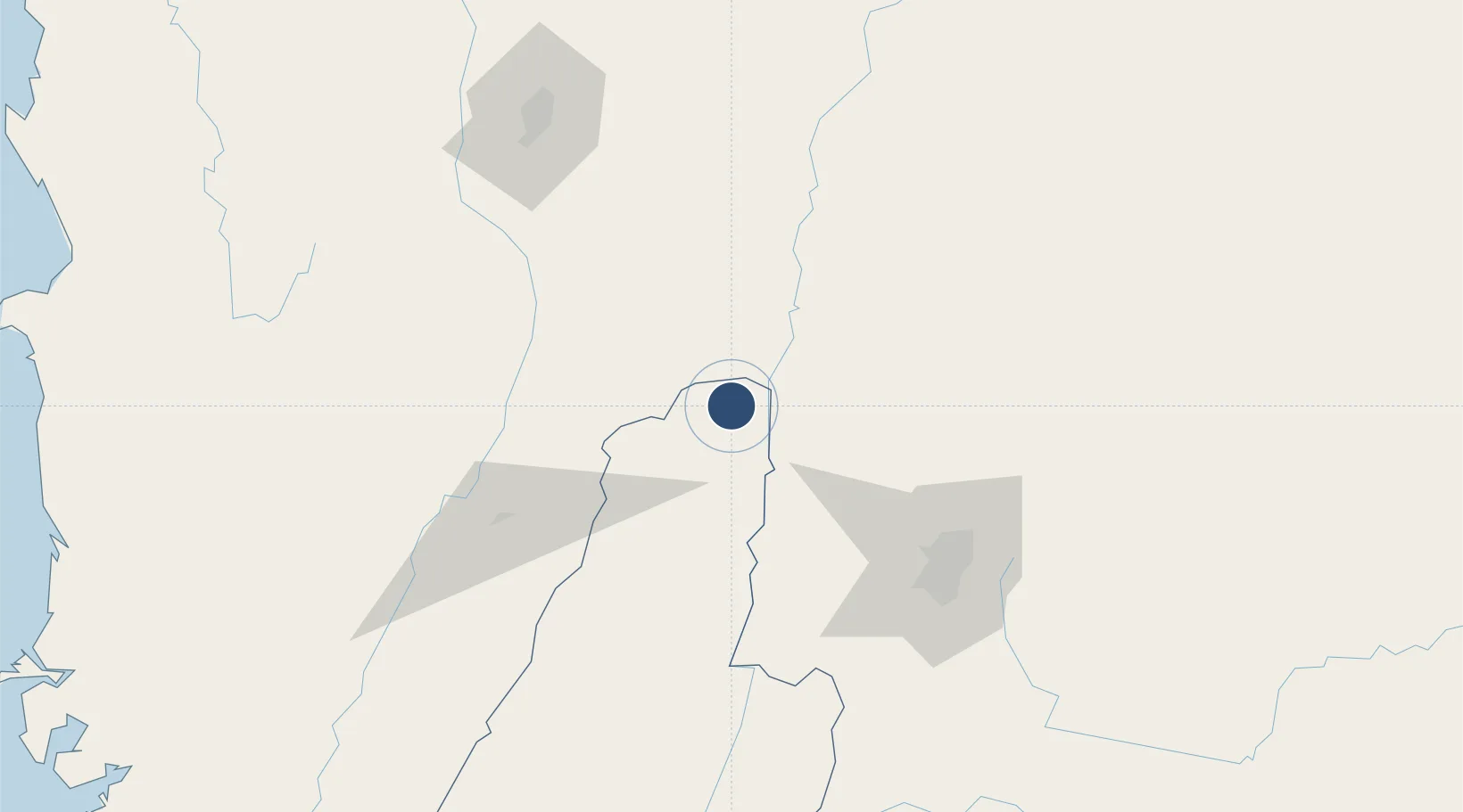
5.2126°, -74.8836°
5,905 ft
Longest runway
2
Runways
1,531 ft
Elevation
Runway & Layout

Radio Frequencies
TWR
118.7 MHz
APP
119.5 MHz
BOGOTA APP
Navaids
MQU VOR-DME Mariquita 116.10 MHz
Runways · 2
| Runway | Dimensions | Surface | True heading | Lit |
|---|---|---|---|---|
| 01/19 | 5,905 × 164ft | Asphalt | 003° | — |
| 18/36 | — | Unknown | — | — |
Airport Specifications
IATA code
MQU
ICAO code
SKQU
Airport class
Medium airport
Scheduled service
No
Runway surface
Asphalt
Served city
Mariquita
Location
Nearby Logistics Neighbours
Airports
- 1German Olano Air Base39 km
- 2La Nubia Airport68 km
- 3Perales Airport92 km
- 4El Dorado International Airport99 km
- 5Santiago Vila Airport105 km
Cities
- 1Puerto Boyaca80 km
- 2Chinchina84 km
- 3Cota97 km
- 4Chia98 km
- 5Cajica100 km
Ports
- 1Buenaventura284 km
- 2Turbo379 km
- 3Covenas476 km
- 4Covenas Offshore Term.486 km
- 5Tumaco572 km
Trade Zones
- 1Zona Franca Andina72 km
- 2Occidente Free Trade Zone90 km
- 3Celta Trade Park95 km
- 4Zona Franca INTEXZONA95 km
- 5Metropolitana Free Trade Zone97 km
DatabookThe Record of Consolidated Knowledge
Colombia beyond logistics?