Transport Functions
Port
Road
Hub Profile
Place type
Provincial seat
Region
Valle del Cauca Department
Population
71,436
Time zone
America/Bogota
Elevation
991 m
Logistics facilities
1
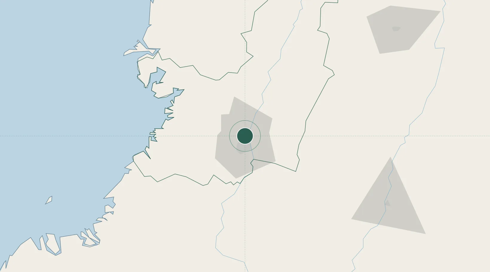
Location
Nearby Logistics Neighbours
Cities
- 1Candelaria24 km
- 2Guachene45 km
- 3Villa Rica54 km
- 4Caloto55 km
- 5Buenaventura72 km
Ports
- 1Buenaventura74 km
- 2Tumaco313 km
- 3Esmeraldas447 km
- 4Turbo508 km
- 5Covenas662 km
Airports
Trade Zones
DatabookThe Record of Consolidated Knowledge
Colombia beyond logistics?