Seaplane base · United States

Port Protection Seaplane Base19P

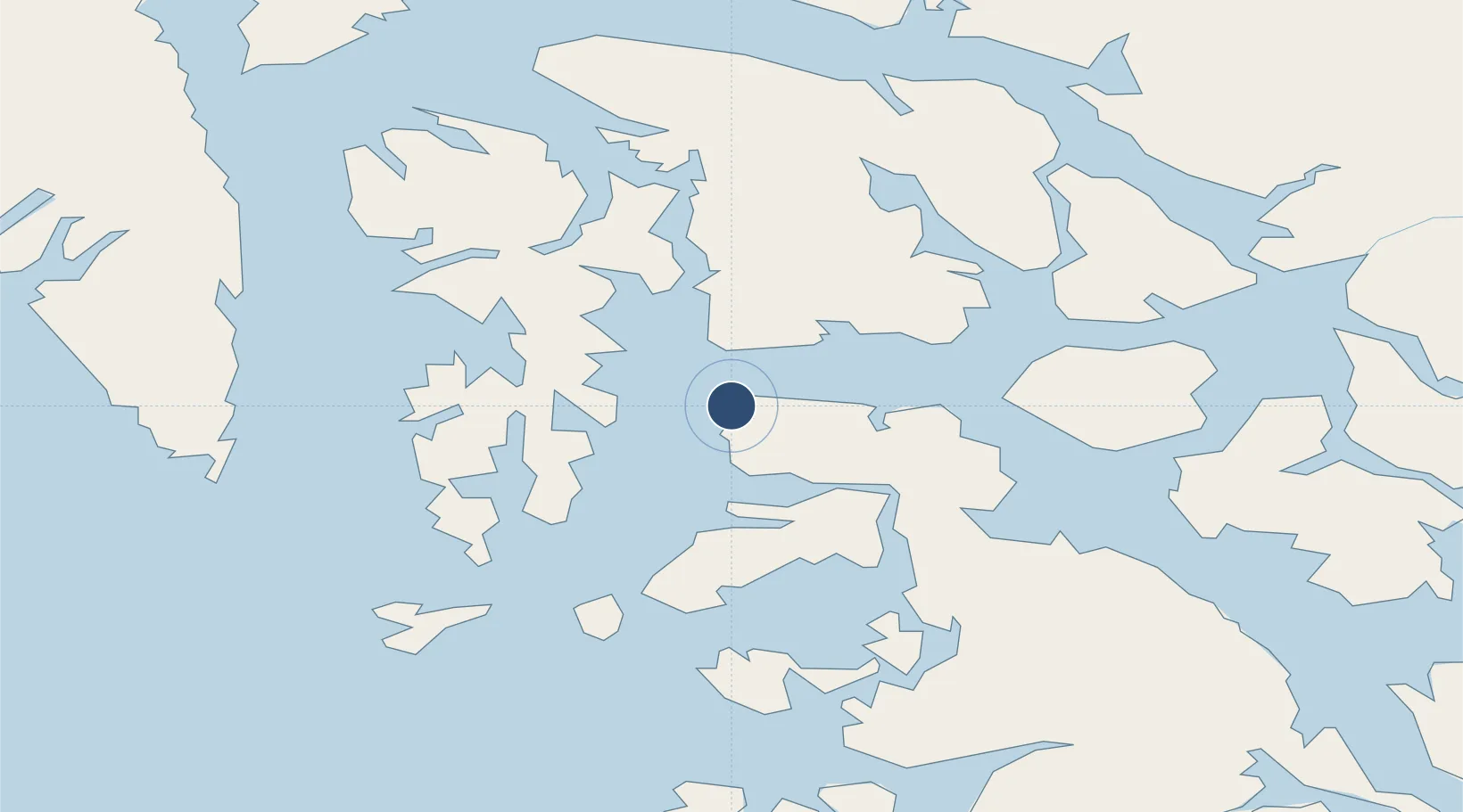
56.3288°, -133.6100°
4,000 ft
Longest runway
1
Runways

Runway & Layout

Runways · 1

RunwayDimensions SurfaceTrue headingLit
NW/SE 4,000 × 1000ft Water
OurAirports

Airport Specifications

IATA code
PPV
OurAirports
ICAO code
19P
OurAirports
Airport class
Seaplane base
OurAirports
Scheduled service
Yes
OurAirports
Runway surface
Water
OurAirports
Served city
Port Protection
OurAirports

Location

Location of 19P
Natural Earth 10m (public domain) · British Columbia · 19P · 56.33, -133.61GoogleOSMYandex

Nearby Logistics Neighbours

Airports
  1. 1Point Baker Seaplane Base3 km
  2. 2Whale Pass Seaplane Float Harbor Facility38 km
  3. 3Edna Bay Seaplane Base42 km
  4. 4Naukati Bay Seaplane Base58 km
  5. 5Coffman Cove Seaplane Base60 km
Nearest neighbours — logibook spatial index (haversine) over the source coordinates
Cities
  1. 1Tyee99 km
  2. 2Neets Bay139 km
  3. 3Ward Cove157 km
  4. 4Ketchikan163 km
  5. 5Metlakatla185 km
Nearest neighbours — logibook spatial index (haversine) over the source coordinates
Ports
  1. 1Little Port Walter63 km
  2. 2Washington Bay64 km
  3. 3Port Alexander65 km
  4. 4Port Armstrong65 km
  5. 5Petersburg68 km
Nearest neighbours — logibook spatial index (haversine) over the source coordinates
Trade Zones
  1. 1PrInce George Logistics Park740 km
  2. 2FTZ No. 108 Valdez907 km
  3. 3FTZ Vancouver Island1055 km
  4. 4FTZ No. 128 Whatcom County1119 km
  5. 5FTZ No. 129 Bellingham1125 km
Nearest neighbours — logibook spatial index (haversine) over the source coordinates
DatabookThe Record of Consolidated Knowledge
United States beyond logistics?
Browse databook

All Sources

AirportsOurAirports
Public domain
Portsthe NGA World Port Index
Public domain (US gov)
LocationsUN/LOCODE
UN/LOCODE — free
Trade Zonesthe World Bank SEZ database
CC BY 4.0
Trade ZonesOpen Zone Map
CC BY
← United States airports