Free Trade Zone · Djibouti

UKAB Holdings Free Zone Active
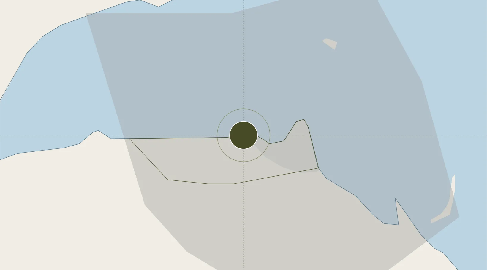
11.5891°, 43.0651°
13 ha
Zone area
3.0 km
Nearest port
11.3 km
Nearest airport

Gateway access

Nearest neighbours — logibook spatial index (haversine) over the source coordinates

Zone profile

Zone type
Free Trade Zone
Open Zone Map
Region
Djibouti
Open Zone Map
Status
Active
Open Zone Map
Management
Private
Open Zone Map
Operator
UKAB Holdings International, Ltd.
Open Zone Map
Legal framework
Law No. 53/AN/04 of 17 May 2004 on Free Zones
Open Zone Map

Location

Location of ozm-1753
Natural Earth 10m (public domain) · Djibouti · ozm-1753 · 11.59, 43.07GoogleOSMYandex

Nearby Logistics Neighbours

Ports
  1. 1Doraleh3 km
  2. 2Djibouti8 km
  3. 3Assab161 km
  4. 4Al Mukha193 km
  5. 5Aden244 km
Nearest neighbours — logibook spatial index (haversine) over the source coordinates
Airports
  1. 1Djibouti-Ambouli Airport11 km
  2. 2Assab International Airport171 km
  3. 3Mokha International Airport191 km
  4. 4Semera Airport227 km
  5. 5Berbera Airport244 km
Nearest neighbours — logibook spatial index (haversine) over the source coordinates
Cities
  1. 1Djibouti4 km
  2. 2Djibouti8 km
  3. 3Camp Lemonier10 km
  4. 4Damerjog17 km
  5. 5Perim Island124 km
Nearest neighbours — logibook spatial index (haversine) over the source coordinates
Trade Zones
  1. 1Touchroad Djibouti Special Economic Zone6 km
  2. 2Djibouti Free Zone7 km
  3. 3Damerjog Industrial Development Free Zone22 km
  4. 4Assab Free Trade Zone160 km
  5. 5Berbera Economic Free Zone247 km
Nearest neighbours — logibook spatial index (haversine) over the source coordinates
DatabookThe Record of Consolidated Knowledge
Djibouti beyond logistics?
Browse databook

All Sources

Trade ZonesOpen Zone Map
CC BY
Portsthe NGA World Port Index
Public domain (US gov)
AirportsOurAirports
Public domain
LocationsUN/LOCODE
UN/LOCODE — free
← Djibouti trade zones