Medium airport · Saudi Arabia

Najran Domestic AirportOENG
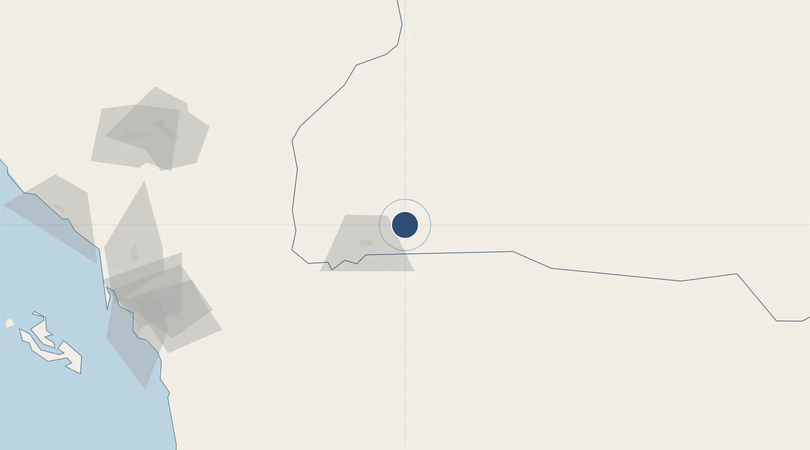
17.6114°, 44.4192°
10,007 ft
Longest runway
1
Runways
3,982 ft
Elevation

Runway & Layout

Najran Domestic Airport runway & taxiway layout
Runway & taxiway layout — OpenStreetMap (ODbL) / OurAirports

Radio Frequencies

TWR
118.5 MHz
GND
121.9 MHz
CTAF
122.8 MHz
MISC
133.5 MHz
FIRE RESCUE SVC
OurAirports

Navaids

NEJ VORTAC Nejran 116.70 MHz
OurAirports

Runways · 1

RunwayDimensions SurfaceTrue headingLit
06/24 10,007 × 147ft Asphalt 060°
OurAirports

Airport Specifications

IATA code
EAM
OurAirports
ICAO code
OENG
OurAirports
Airport class
Medium airport
OurAirports
Scheduled service
Yes
OurAirports
Runway surface
Asphalt
OurAirports
Served city
Najran
OurAirports

Location

Location of OENG
Natural Earth 10m (public domain) · Najran · OENG · 17.61, 44.42GoogleOSMYandex

Nearby Logistics Neighbours

Airports
  1. 1King Khalid Air Base187 km
  2. 2Abha International Airport199 km
  3. 3Jizan Regional Airport / King Abdullah bin Abdulaziz Airport210 km
  4. 4Sanaa International Airport238 km
  5. 5Sharurah Domestic Airport287 km
Nearest neighbours — logibook spatial index (haversine) over the source coordinates
Cities
  1. 1Jizan219 km
  2. 2Jazan Economic City225 km
  3. 3Muhayil272 km
  4. 4Al Qahmah295 km
  5. 5Ras Isa Terminal327 km
Nearest neighbours — logibook spatial index (haversine) over the source coordinates
Ports
  1. 1Jizan220 km
  2. 2Salif318 km
  3. 3Ras Isa Marine Terminal337 km
  4. 4Al Ahmadi346 km
  5. 5Al Mukha494 km
Nearest neighbours — logibook spatial index (haversine) over the source coordinates
Trade Zones
  1. 1Najran Industrial City9 km
  2. 2Assir Industrial City203 km
  3. 3Jazan Industrial City209 km
  4. 4Jazan Economic City221 km
  5. 5Al-Baha Industrial City (First)421 km
Nearest neighbours — logibook spatial index (haversine) over the source coordinates
DatabookThe Record of Consolidated Knowledge
Saudi Arabia beyond logistics?
Browse databook

All Sources

AirportsOurAirports
Public domain
Portsthe NGA World Port Index
Public domain (US gov)
LocationsUN/LOCODE
UN/LOCODE — free
Trade Zonesthe World Bank SEZ database
CC BY 4.0
Trade ZonesOpen Zone Map
CC BY
InfrastructureOpenStreetMap
ODbL 1.0
← Saudi Arabia airports