Medium airport · Iran
Ilam AirportOICI
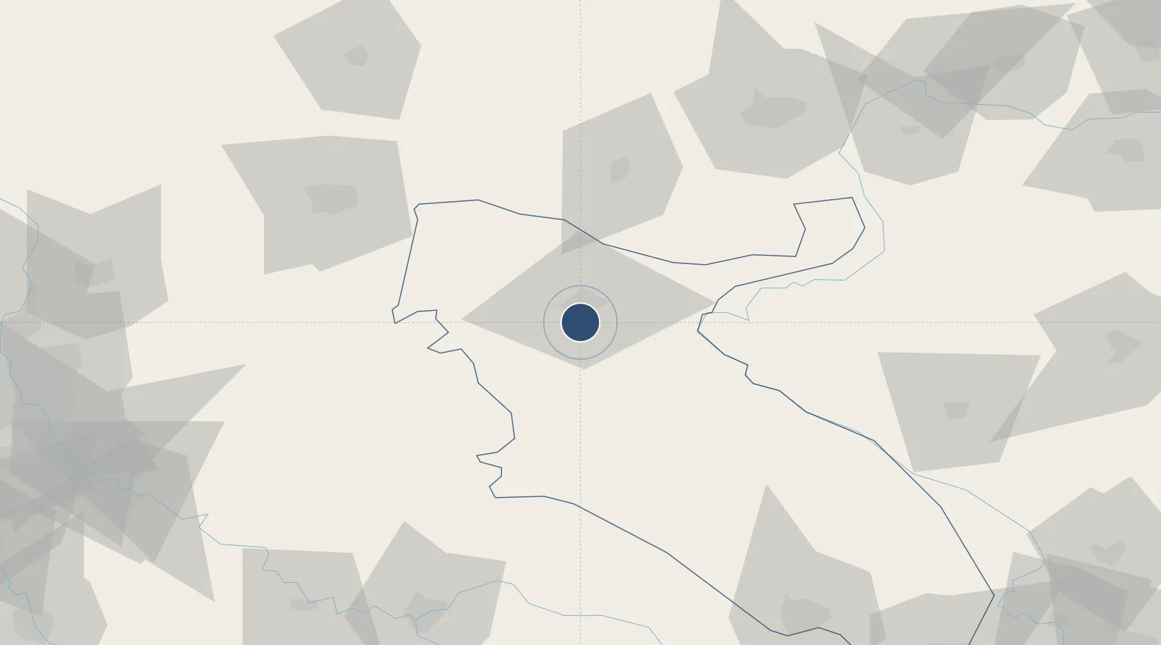
33.5866°, 46.4048°
9,183 ft
Longest runway
1
Runways
4,404 ft
Elevation
Runway & Layout

Radio Frequencies
AFIS
118.8 MHz
INFO
Navaids
ILM VOR-DME Ilam 112.60 MHz
ILM NDB Ilam 311 kHz
Runways · 1
| Runway | Dimensions | Surface | True heading | Lit |
|---|---|---|---|---|
| 14/32 | 9,183 × 148ft | Asphalt | 142° | ✓ |
Airport Specifications
IATA code
IIL
ICAO code
OICI
Airport class
Medium airport
Scheduled service
No
Runway surface
Asphalt
Served city
Ilam
Location
Nearby Logistics Neighbours
Airports
- 1Shahid Ashrafi Esfahani Airport109 km
- 2Ubaydah Bin Al Jarrah Airport137 km
- 3Kut Al Hayy East Air Base163 km
- 4Salum Air Base166 km
- 5Khoram Abad Airport175 km
Cities
- 1Kermanshah (Bakhtaran)99 km
- 2Ba'qubah165 km
- 3Wasit174 km
- 4Baghdåd192 km
- 5Taji198 km
Ports
- 1Al Basrah367 km
- 2Khorramshahr389 km
- 3Abadan403 km
- 4Khawr Al Zubair404 km
- 5Umm Qasr423 km
Trade Zones
DatabookThe Record of Consolidated Knowledge
Iran beyond logistics?