Medium airport · Iraq
Al Taqaddum Air BaseORAT
33.3381°, 43.5971°
13,186 ft
Longest runway
2
Runways
275 ft
Elevation
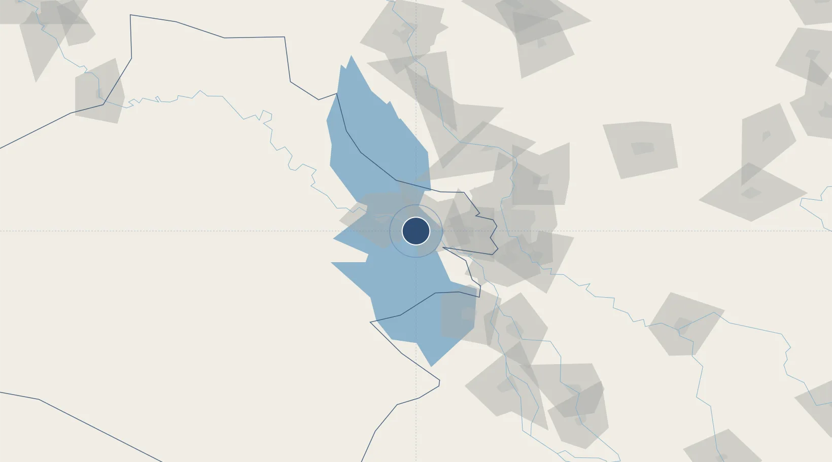
Runway & Layout

Radio Frequencies
ATIS
22.627 MHz
INFO
TWR
135.775 MHz
GND
29.085 MHz
APP
125.25 MHz
POST
129.375 MHz
A/DACG
Navaids
MAT TACAN Al Taqaddum 112.30 MHz
Runways · 2
| Runway | Dimensions | Surface | True heading | Lit |
|---|---|---|---|---|
| 12R/30L | 13,186 × 200ft | Concrete | 119° | ✓ |
| 12L/30R | 12,087 × 150ft | Asphalt / concrete | 119° | ✓ |
Airport Specifications
IATA code
TQD
ICAO code
ORAT
Airport class
Medium airport
Scheduled service
No
Runway surface
Concrete
Served city
Al Habbaniyah
Location
Nearby Logistics Neighbours
Airports
Cities
- 1Al Taqaddum1 km
- 2Taji65 km
- 3Baghdåd71 km
- 4Balad89 km
- 5Samarra'99 km
Ports
- 1Al Basrah508 km
- 2Khawr Al Zubair537 km
- 3Khorramshahr540 km
- 4Umm Qasr553 km
- 5Abadan555 km
Trade Zones
- 1Qasr-e-Shirin Special Economic Zone225 km
- 2Arar Industrial City348 km
- 3Baneh Special Economic Zone366 km
- 4Lorestan Special Economic Zone380 km
- 5Al Yarubiyah Free Zone411 km
DatabookThe Record of Consolidated Knowledge
Iraq beyond logistics?