Medium airport · Iraq

Al Taji Army Air FieldORTI

33.5239°, 44.2567°
5,770 ft
Longest runway
1
Runways
121 ft
Elevation

Runway & Layout

Al Taji Army Air Field runway & taxiway layout
Runway & taxiway layout — OpenStreetMap (ODbL) / OurAirports

Radio Frequencies

TWR
40.85 MHz
CTAF
122 MHz
MISC
88.1 MHz
FARP
OurAirports

Runways · 1

RunwayDimensions SurfaceTrue headingLit
16/34 5,770 × 164ft Asphalt / concrete 161°
OurAirports

Airport Specifications

ICAO code
ORTI
OurAirports
Airport class
Medium airport
OurAirports
Scheduled service
No
OurAirports
Runway surface
Asphalt / concrete
OurAirports
Served city
Taji
OurAirports

Location

Location of ORTI
Natural Earth 10m (public domain) · Sala ad-Din · ORTI · 33.52, 44.26GoogleOSMYandex

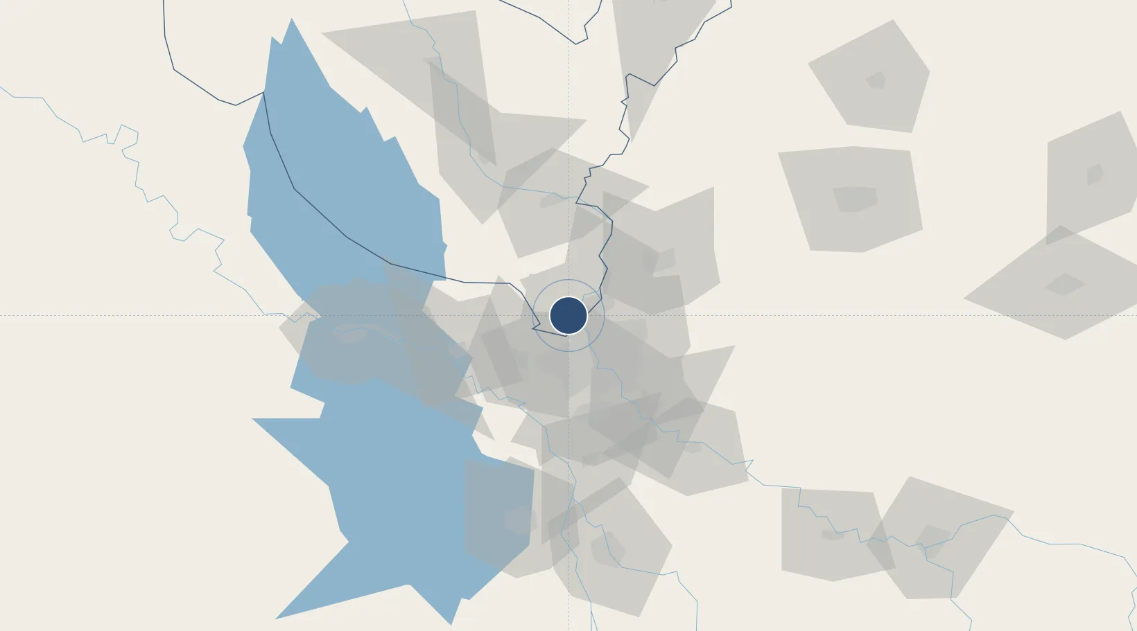
Nearby Logistics Neighbours

Airports
  1. 1Baghdad International Airport / New Al Muthana Air Base29 km
  2. 2Rasheed Air Base35 km
  3. 3Balad Southeast Airport / Joint Base Balad47 km
  4. 4Al Taqaddum Air Base65 km
  5. 5Samarra East Air Base / Dhuluiya Airport71 km
Nearest neighbours — logibook spatial index (haversine) over the source coordinates
Cities
  1. 1Taji1 km
  2. 2Baghdåd25 km
  3. 3Ba'qubah43 km
  4. 4Balad54 km
  5. 5Al Taqaddum66 km
Nearest neighbours — logibook spatial index (haversine) over the source coordinates
Ports
  1. 1Al Basrah475 km
  2. 2Khorramshahr505 km
  3. 3Khawr Al Zubair506 km
  4. 4Abadan520 km
  5. 5Umm Qasr523 km
Nearest neighbours — logibook spatial index (haversine) over the source coordinates
Trade Zones
  1. 1Qasr-e-Shirin Special Economic Zone165 km
  2. 2Baneh Special Economic Zone316 km
  3. 3Lorestan Special Economic Zone318 km
  4. 4Arar Industrial City406 km
  5. 5Al Yarubiyah Free Zone417 km
Nearest neighbours — logibook spatial index (haversine) over the source coordinates
DatabookThe Record of Consolidated Knowledge
Iraq beyond logistics?
Browse databook

All Sources

AirportsOurAirports
Public domain
Portsthe NGA World Port Index
Public domain (US gov)
LocationsUN/LOCODE
UN/LOCODE — free
Trade Zonesthe World Bank SEZ database
CC BY 4.0
Trade ZonesOpen Zone Map
CC BY
InfrastructureOpenStreetMap
ODbL 1.0
← Iraq airports