Medium airport · Oman
Thumrait Air BaseOOTH
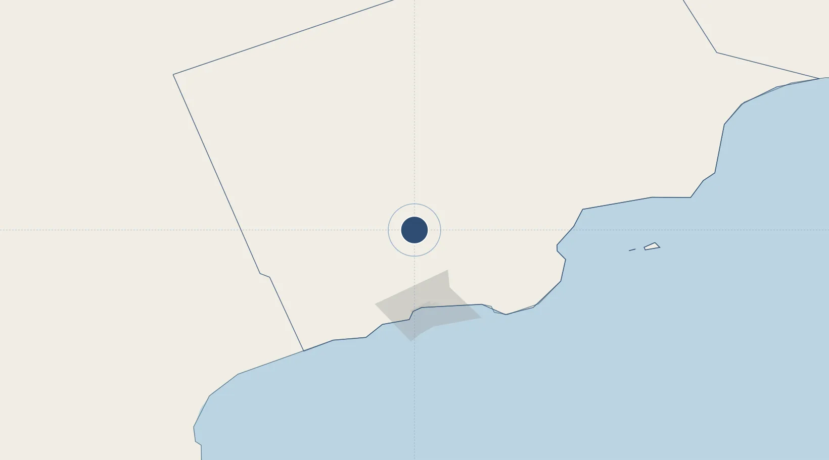
17.6660°, 54.0246°
13,123 ft
Longest runway
1
Runways
1,570 ft
Elevation
Runway & Layout

Radio Frequencies
TWR
118.6 MHz
GND
122 MHz
APP
125 MHz
OPS
671.2 MHz
PMSV
138.775 MHz
METRO
POST
39.19 MHz
BARNYARD
Navaids
TMR VORTAC Thumrait 115.30 MHz
Runways · 1
| Runway | Dimensions | Surface | True heading | Lit |
|---|---|---|---|---|
| 17/35 | 13,123 × 148ft | Asphalt | 173° | ✓ |
Airport Specifications
IATA code
TTH
ICAO code
OOTH
Airport class
Medium airport
Scheduled service
No
Runway surface
Asphalt
Served city
Thumrait
Location
Nearby Logistics Neighbours
Airports
- 1Salalah International Airport70 km
- 2Al Ghaydah International Airport256 km
- 3Aradah Airport417 km
- 4Duqm International Airport432 km
- 5Socotra Airport560 km
Cities
- 1Salalah81 km
- 2Al Mazunah149 km
- 3Chorula371 km
- 4Duqm449 km
- 5Suqutrá574 km
Ports
- 1Mina Raysut80 km
- 2Nishtun283 km
- 3Duqm448 km
- 4Ash Shihr Oil Terminal586 km
- 5Al Mukalla631 km
Trade Zones
- 1Salalah Ṣalālah Free Zone68 km
- 2Al Mazunah Free Zone147 km
- 3Duqm Special Economic Zone448 km
- 4Al Ain Industrial City732 km
- 5Industrial City of Abu Dhabi (ICAD)737 km
DatabookThe Record of Consolidated Knowledge
Oman beyond logistics?