Medium airport · Saudi Arabia

King Khalid Air BaseOEKM
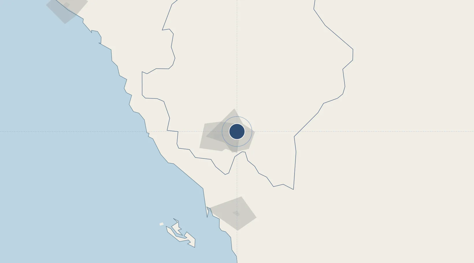
18.2973°, 42.8035°
12,467 ft
Longest runway
2
Runways
6,778 ft
Elevation

Runway & Layout

King Khalid Air Base runway & taxiway layout
Runway & taxiway layout — OpenStreetMap (ODbL) / OurAirports

Radio Frequencies

TWR
118.9 MHz
GND
127.7 MHz
APP
130.5 MHz
DEP
125.8 MHz
OurAirports

Navaids

KAM VORTAC Khamis Mushait 115.90 MHz
OurAirports

Runways · 2

RunwayDimensions SurfaceTrue headingLit
06/24 12,467 × 148ft Asphalt 060°
14/32 12,467 × 148ft Asphalt 141°
OurAirports

Airport Specifications

IATA code
KMX
OurAirports
ICAO code
OEKM
OurAirports
Airport class
Medium airport
OurAirports
Scheduled service
No
OurAirports
Runway surface
Asphalt
OurAirports
Served city
Khamis Mushait
OurAirports

Location

Location of OEKM
Natural Earth 10m (public domain) · `Asir · OEKM · 18.30, 42.80GoogleOSMYandex

Nearby Logistics Neighbours

Airports
  1. 1Abha International Airport17 km
  2. 2Jizan Regional Airport / King Abdullah bin Abdulaziz Airport157 km
  3. 3Najran Domestic Airport187 km
  4. 4Bisha Airport189 km
  5. 5King Saud Bin Abdulaziz (Al Baha) Airport254 km
Nearest neighbours — logibook spatial index (haversine) over the source coordinates
Cities
  1. 1Muhayil85 km
  2. 2Jazan Economic City123 km
  3. 3Al Qahmah124 km
  4. 4Jizan159 km
  5. 5Al Qunfudah204 km
Nearest neighbours — logibook spatial index (haversine) over the source coordinates
Ports
  1. 1Jizan159 km
  2. 2Salif334 km
  3. 3Ras Isa Marine Terminal353 km
  4. 4Al Ahmadi386 km
  5. 5Mitsiwa Harbor463 km
Nearest neighbours — logibook spatial index (haversine) over the source coordinates
Trade Zones
  1. 1Assir Industrial City15 km
  2. 2Jazan Economic City119 km
  3. 3Jazan Industrial City163 km
  4. 4Najran Industrial City181 km
  5. 5Al-Baha Industrial City (First)258 km
Nearest neighbours — logibook spatial index (haversine) over the source coordinates
DatabookThe Record of Consolidated Knowledge
Saudi Arabia beyond logistics?
Browse databook

All Sources

AirportsOurAirports
Public domain
Portsthe NGA World Port Index
Public domain (US gov)
LocationsUN/LOCODE
UN/LOCODE — free
Trade Zonesthe World Bank SEZ database
CC BY 4.0
Trade ZonesOpen Zone Map
CC BY
InfrastructureOpenStreetMap
ODbL 1.0
← Saudi Arabia airports