Medium airport · Saudi Arabia
Sharurah Domestic AirportOESH
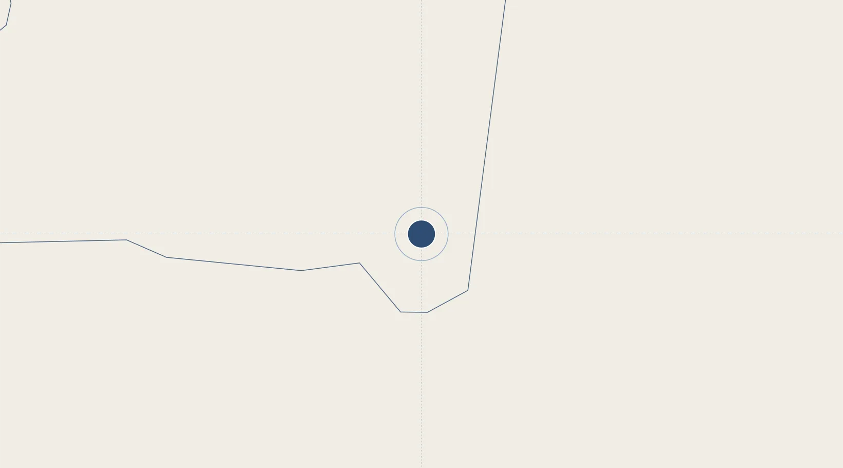
17.4669°, 47.1214°
11,975 ft
Longest runway
1
Runways
2,363 ft
Elevation
Runway & Layout

Radio Frequencies
CTAF
122.8 MHz
EMR
133.5 MHz
CRASH SVC
Navaids
SHA VORTAC Sharurah 114.30 MHz
Runways · 1
| Runway | Dimensions | Surface | True heading | Lit |
|---|---|---|---|---|
| 08/26 | 11,975 × 147ft | Asphalt | 085° | ✓ |
Airport Specifications
IATA code
SHW
ICAO code
OESH
Airport class
Medium airport
Scheduled service
Yes
Runway surface
Asphalt
Served city
Sharurah
Location
Nearby Logistics Neighbours
Airports
- 1Seiyun Hadhramaut International Airport244 km
- 2Najran Domestic Airport287 km
- 3Ataq Airport326 km
- 4Sanaa International Airport380 km
- 5Wadi Al Dawasir Domestic Airport394 km
Cities
- 1Chorula366 km
- 2Al Mukalla391 km
- 3Mukalla393 km
- 4Jizan495 km
- 5Jazan Economic City509 km
Ports
- 1Al Mukalla391 km
- 2Ash Shihr Oil Terminal398 km
- 3Balhaf406 km
- 4Jizan497 km
- 5Al Ahmadi532 km
Trade Zones
- 1Najran Industrial City295 km
- 2Assir Industrial City482 km
- 3Jazan Industrial City483 km
- 4Jazan Economic City505 km
- 5Aden Free Zone564 km
DatabookThe Record of Consolidated Knowledge
Saudi Arabia beyond logistics?