Transport Functions
Port
Hub Profile
Place type
Populated place
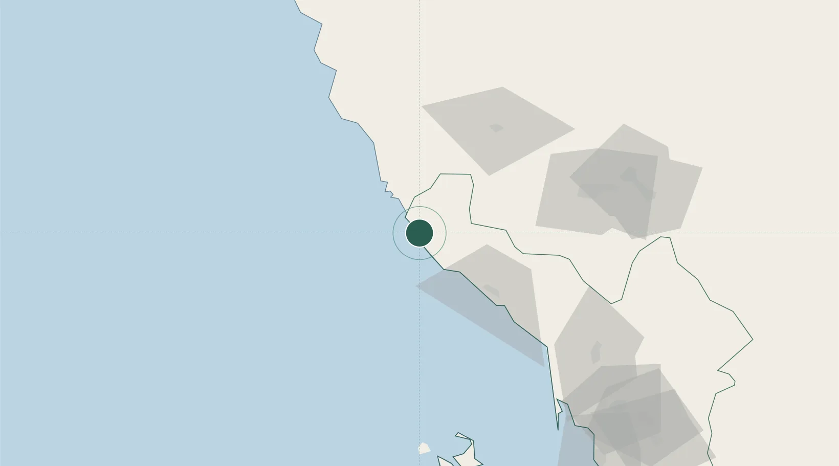
Region
Jazan Region
Time zone
Asia/Riyadh
Elevation
11 m
Location
Nearby Logistics Neighbours
Cities
- 1Muhayil69 km
- 2Jazan Economic City108 km
- 3Al Qunfudah138 km
- 4Jizan152 km
- 5Ras Isa Terminal331 km
Ports
- 1Jizan151 km
- 2Salif320 km
- 3Ras Isa Marine Terminal336 km
- 4Mitsiwa Harbor355 km
- 5Al Ahmadi380 km
Airports
Trade Zones
- 1Jazan Economic City107 km
- 2Assir Industrial City111 km
- 3Jazan Industrial City166 km
- 4Al-Baha Industrial City (First)259 km
- 5Al-Baha Industrial City (Second)265 km
DatabookThe Record of Consolidated Knowledge
Saudi Arabia beyond logistics?