Large airport · Saudi Arabia

Abha International AirportOEAB
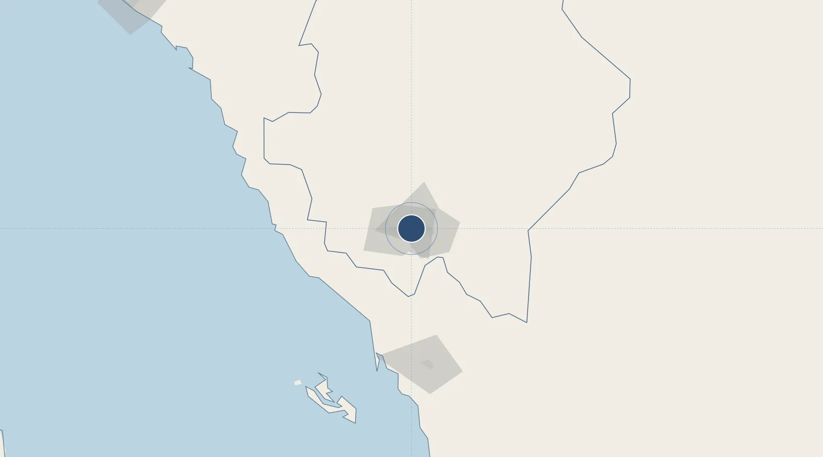
18.2404°, 42.6566°
10,991 ft
Longest runway
1
Runways
6,858 ft
Elevation

Runway & Layout

Abha International Airport runway & taxiway layout
Runway & taxiway layout — OpenStreetMap (ODbL) / OurAirports

Radio Frequencies

TWR
118.1 MHz
GND
121.7 MHz
APP
124.5 MHz
KHAMIS APP
OurAirports

Navaids

ABH VORTAC Abha 112.90 MHz
OurAirports

Runways · 1

RunwayDimensions SurfaceTrue headingLit
13/31 10,991 × 148ft Asphalt 129°
OurAirports

Airport Specifications

IATA code
AHB
OurAirports
ICAO code
OEAB
OurAirports
Airport class
Large airport
OurAirports
Scheduled service
Yes
OurAirports
Runway surface
Asphalt
OurAirports
Served city
Abha
OurAirports

Location

Location of OEAB
Natural Earth 10m (public domain) · `Asir · OEAB · 18.24, 42.66GoogleOSMYandex

Nearby Logistics Neighbours

Airports
  1. 1King Khalid Air Base17 km
  2. 2Jizan Regional Airport / King Abdullah bin Abdulaziz Airport149 km
  3. 3Bisha Airport194 km
  4. 4Najran Domestic Airport199 km
  5. 5King Saud Bin Abdulaziz (Al Baha) Airport253 km
Nearest neighbours — logibook spatial index (haversine) over the source coordinates
Cities
  1. 1Muhayil73 km
  2. 2Al Qahmah108 km
  3. 3Jazan Economic City112 km
  4. 4Jizan150 km
  5. 5Al Qunfudah194 km
Nearest neighbours — logibook spatial index (haversine) over the source coordinates
Ports
  1. 1Jizan150 km
  2. 2Salif327 km
  3. 3Ras Isa Marine Terminal346 km
  4. 4Al Ahmadi380 km
  5. 5Mitsiwa Harbor448 km
Nearest neighbours — logibook spatial index (haversine) over the source coordinates
Trade Zones
  1. 1Assir Industrial City11 km
  2. 2Jazan Economic City108 km
  3. 3Jazan Industrial City156 km
  4. 4Najran Industrial City193 km
  5. 5Al-Baha Industrial City (First)257 km
Nearest neighbours — logibook spatial index (haversine) over the source coordinates
DatabookThe Record of Consolidated Knowledge
Saudi Arabia beyond logistics?
Browse databook

All Sources

AirportsOurAirports
Public domain
Portsthe NGA World Port Index
Public domain (US gov)
LocationsUN/LOCODE
UN/LOCODE — free
Trade Zonesthe World Bank SEZ database
CC BY 4.0
Trade ZonesOpen Zone Map
CC BY
InfrastructureOpenStreetMap
ODbL 1.0
← Saudi Arabia airports