Transport Functions
Multimodal
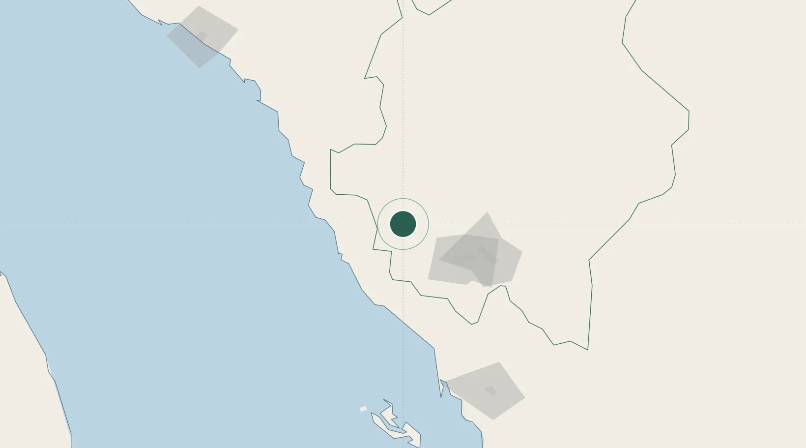
Hub Profile
Place type
Populated place
Region
14
Time zone
Asia/Riyadh
Elevation
479 m
Location
Nearby Logistics Neighbours
Cities
- 1Al Qahmah69 km
- 2Al Qunfudah121 km
- 3Jazan Economic City142 km
- 4Jizan188 km
- 5Shuaibah356 km
Ports
- 1Jizan188 km
- 2Salif366 km
- 3Ras Isa Marine Terminal383 km
- 4Al Ahmadi423 km
- 5Mitsiwa Harbor424 km
Airports
Trade Zones
- 1Assir Industrial City70 km
- 2Jazan Economic City140 km
- 3Jazan Industrial City199 km
- 4Al-Baha Industrial City (First)206 km
- 5Al-Baha Industrial City (Second)213 km
DatabookThe Record of Consolidated Knowledge
Saudi Arabia beyond logistics?