Free Trade Zone · Saudi Arabia

Al-Baha Industrial City (First) Active
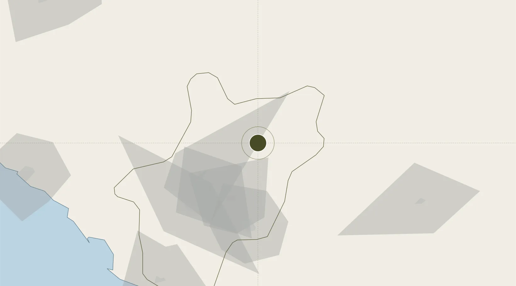
20.3460°, 41.6436°
300 ha
Zone area
285.1 km
Nearest port
5.3 km
Nearest airport

Gateway access

Nearest neighbours — logibook spatial index (haversine) over the source coordinates

Zone profile

Zone type
Free Trade Zone
Open Zone Map
Region
Al Bahah
Open Zone Map
Status
Active
Open Zone Map
Management
Public
Open Zone Map
Operator
Saudi Authority for Industrial Estates and Technology Zones
Open Zone Map
Legal framework
Ministerial Legislation No. 235 dated 27/8/1422H
Open Zone Map

Location

Location of ozm-4067
Natural Earth 10m (public domain) · Al Bahah · ozm-4067 · 20.35, 41.64GoogleOSMYandex

Nearby Logistics Neighbours

Ports
  1. 1Jiddah285 km
  2. 2Rabigh382 km
  3. 3Jizan393 km
  4. 4Port Sudan468 km
  5. 5Sawakin Harbor469 km
Nearest neighbours — logibook spatial index (haversine) over the source coordinates
Airports
  1. 1King Saud Bin Abdulaziz (Al Baha) Airport5 km
  2. 2Bisha Airport110 km
  3. 3Taif International Airport171 km
  4. 4Mecca East Airport210 km
  5. 5Abha International Airport257 km
Nearest neighbours — logibook spatial index (haversine) over the source coordinates
Cities
  1. 1Al Qunfudah149 km
  2. 2Muhayil206 km
  3. 3Shuaibah225 km
  4. 4Al Qahmah259 km
  5. 5Jeddah280 km
Nearest neighbours — logibook spatial index (haversine) over the source coordinates
Trade Zones
  1. 1Al-Baha Industrial City (Second)8 km
  2. 2Makkah Industrial City231 km
  3. 3Assir Industrial City247 km
  4. 4Jeddah Industrial City (Third)255 km
  5. 5Jeddah Industrial City (Second)264 km
Nearest neighbours — logibook spatial index (haversine) over the source coordinates
DatabookThe Record of Consolidated Knowledge
Saudi Arabia beyond logistics?
Browse databook

All Sources

Trade ZonesOpen Zone Map
CC BY
Portsthe NGA World Port Index
Public domain (US gov)
AirportsOurAirports
Public domain
LocationsUN/LOCODE
UN/LOCODE — free
← Saudi Arabia trade zones