Runway & Layout

Airport Specifications
IATA code
BKM
ICAO code
WBGQ
Airport class
Small airport
Scheduled service
Yes
Served city
Bakalalan
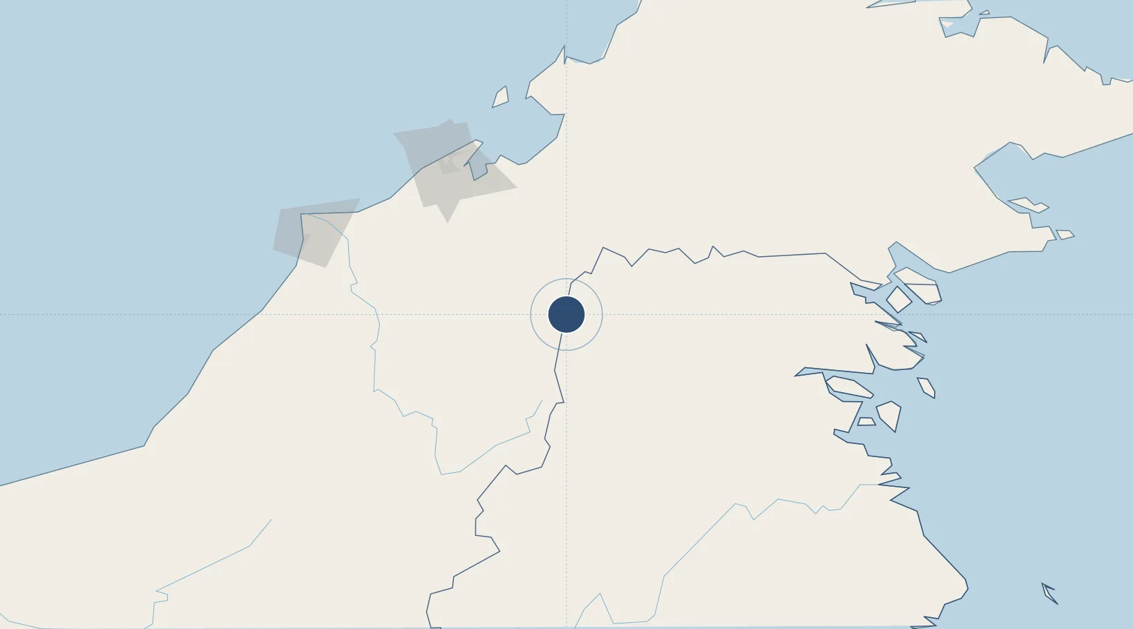
Location
Nearby Logistics Neighbours
Airports
- 1Yuvai Semaring Airport11 km
- 2Bario Airport31 km
- 3Long Rungan49 km
- 4Long Seridan Airport61 km
- 5Long Lellang Airport80 km
Cities
- 1Batu Batu, Sabah123 km
- 2Bandar Seri Begawan126 km
- 3Muara132 km
- 4Bantul134 km
- 5Menumbok150 km
Ports
- 1Bandar Seri Begawan130 km
- 2Muara Harbor133 km
- 3Lumut154 km
- 4Seria Oil Loading Terminal161 km
- 5Kuala Belait174 km
Trade Zones
- 1Muara Export Zone132 km
- 2Terunjing Free Trade Zone132 km
- 3Labuan Offshore Financial Centre151 km
- 4Mas Cargo Free Zone, Penang186 km
- 5Sabah Development Corridor224 km
DatabookThe Record of Consolidated Knowledge
Malaysia beyond logistics?