Transport Functions
Multimodal
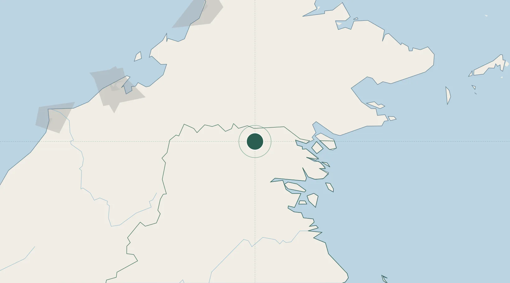
Hub Profile
Place type
Populated place
Region
North Kalimantan
Time zone
Asia/Makassar
Elevation
150 m
Location
Nearby Logistics Neighbours
Cities
- 1Tawau, Sabah120 km
- 2Tarakan, Kalimantan129 km
- 3Bunyu131 km
- 4Batu Batu, Sabah137 km
- 5Bedong160 km
Ports
- 1Tawa119 km
- 2Tanjung Arang (Bunyu)136 km
- 3Mostyn170 km
- 4Lahad Datu192 km
- 5Bakapit215 km
Airports
- 1Robert Atty Bessing68 km
- 2Juwata International Airport / Suharnoko Harbani AFB124 km
- 3Long Rungan124 km
- 4Yuvai Semaring Airport128 km
- 5Bakalalan Airport134 km
Trade Zones
- 1Labuan Offshore Financial Centre214 km
- 2Sabah Development Corridor215 km
- 3Muara Export Zone217 km
- 4Terunjing Free Trade Zone217 km
- 5Muara Wahau Industrial Park304 km
DatabookThe Record of Consolidated Knowledge
Indonesia beyond logistics?