Small airport · Indonesia
Yuvai Semaring AirportWRLB
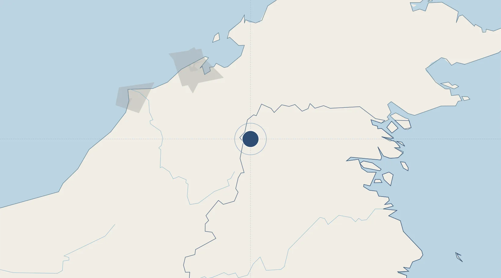
3.9005°, 115.6901°
2,953 ft
Longest runway
1
Runways
2,540 ft
Elevation
Runway & Layout

Runways · 1
| Runway | Dimensions | Surface | True heading | Lit |
|---|---|---|---|---|
| 04/22 | 2,953 × 75ft | Asphalt | — | — |
Airport Specifications
IATA code
LBW
ICAO code
WAQJ
Airport class
Small airport
Scheduled service
Yes
Runway surface
Asphalt
Served city
Long Bawan
Location
Nearby Logistics Neighbours
Airports
- 1Bakalalan Airport11 km
- 2Bario Airport30 km
- 3Long Rungan38 km
- 4Long Seridan Airport70 km
- 5Long Lellang Airport80 km
Cities
- 1Bantul128 km
- 2Batu Batu, Sabah129 km
- 3Bandar Seri Begawan138 km
- 4Muara143 km
- 5Beaufort160 km
Ports
- 1Bandar Seri Begawan141 km
- 2Muara Harbor144 km
- 3Lumut165 km
- 4Seria Oil Loading Terminal172 km
- 5Kuala Kapus178 km
Trade Zones
- 1Muara Export Zone143 km
- 2Terunjing Free Trade Zone143 km
- 3Labuan Offshore Financial Centre161 km
- 4Mas Cargo Free Zone, Penang195 km
- 5Sabah Development Corridor230 km
DatabookThe Record of Consolidated Knowledge
Indonesia beyond logistics?