Channel & Berth Profile
Pilotage, Tugs & Services
Pilotage availableYES
Shore powerYES
Potable waterYES
MedicalYES
Facilities & Capabilities
Container—
Ro-Ro—
Liquid bulk—
Dry bulkYES
Oil terminal—
Break bulk—
Dry dock—
RepairsNO
Bunkering—
Rail link—
Dangerous cargo—
ISPS securityYES
Harbour Specifications
Harbour size
Very Small
Harbour type
Open Roadstead
Shelter
Poor
Water body
Caribbean Sea; North Atlantic Ocean
Tidal range
2 m
Overhead limit
No
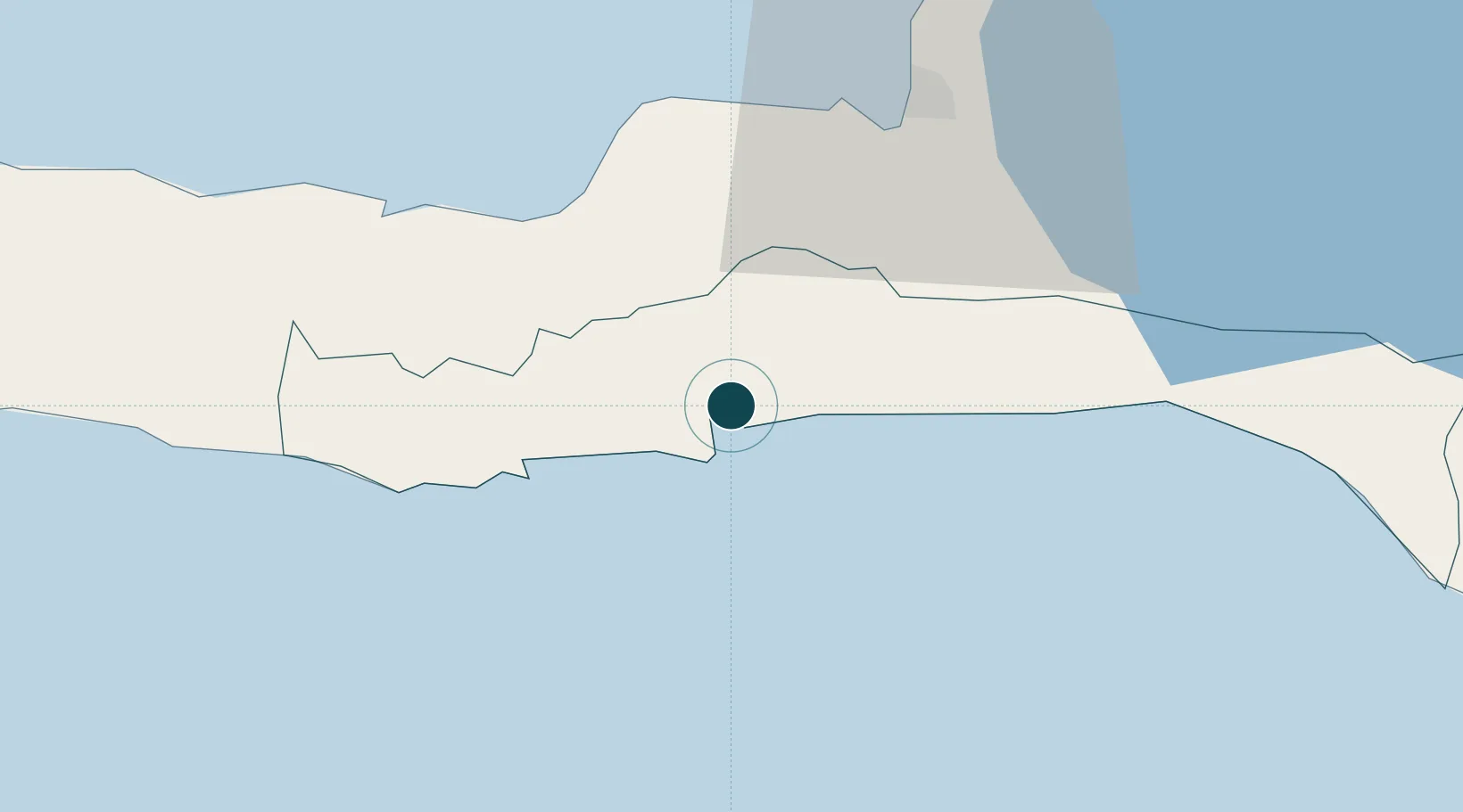
Location
Nearby Logistics Neighbours
Ports
- 1Port Au Prince40 km
- 2Petit Goave42 km
- 3Miragoane63 km
- 4Cabo Rojo100 km
- 5Santa Cruz De Barahona153 km
Cities
- 1Santo28 km
- 2Leogane32 km
- 3Turgeau40 km
- 4Petit Goâve42 km
- 5Port-au-Prince43 km
Airports
Trade Zones
DatabookThe Record of Consolidated Knowledge
Haiti beyond logistics?