UN/LOCODE hub · Haiti
HTPAP
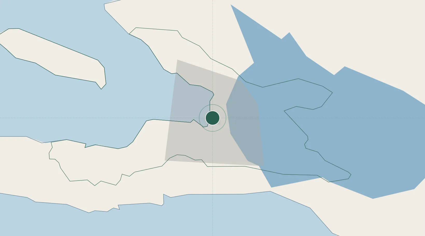
Port-au-Prince
18.5672°, -72.3307°
1,234,742
Population
3
Transport functions
2
Container terminals
Transport Functions
Port
Airport
Postal
Hub Profile
Place type
National capital
Region
Ouest
Population
1,234,742
Time zone
America/Port-au-Prince
Elevation
27 m
Logistics facilities
4
Container terminals
2
Location
Nearby Logistics Neighbours
Cities
- 1Turgeau4 km
- 2Lafiteau10 km
- 3Lafito Port13 km
- 4Santo19 km
- 5Leogane33 km
Ports
- 1Jacmel43 km
- 2Petit Goave58 km
- 3Miragoane80 km
- 4Cabo Rojo102 km
- 5Cap Haitien134 km
Airports
Trade Zones
DatabookThe Record of Consolidated Knowledge
Haiti beyond logistics?