Medium airport · France
Caen Carpiquet airportLFRK
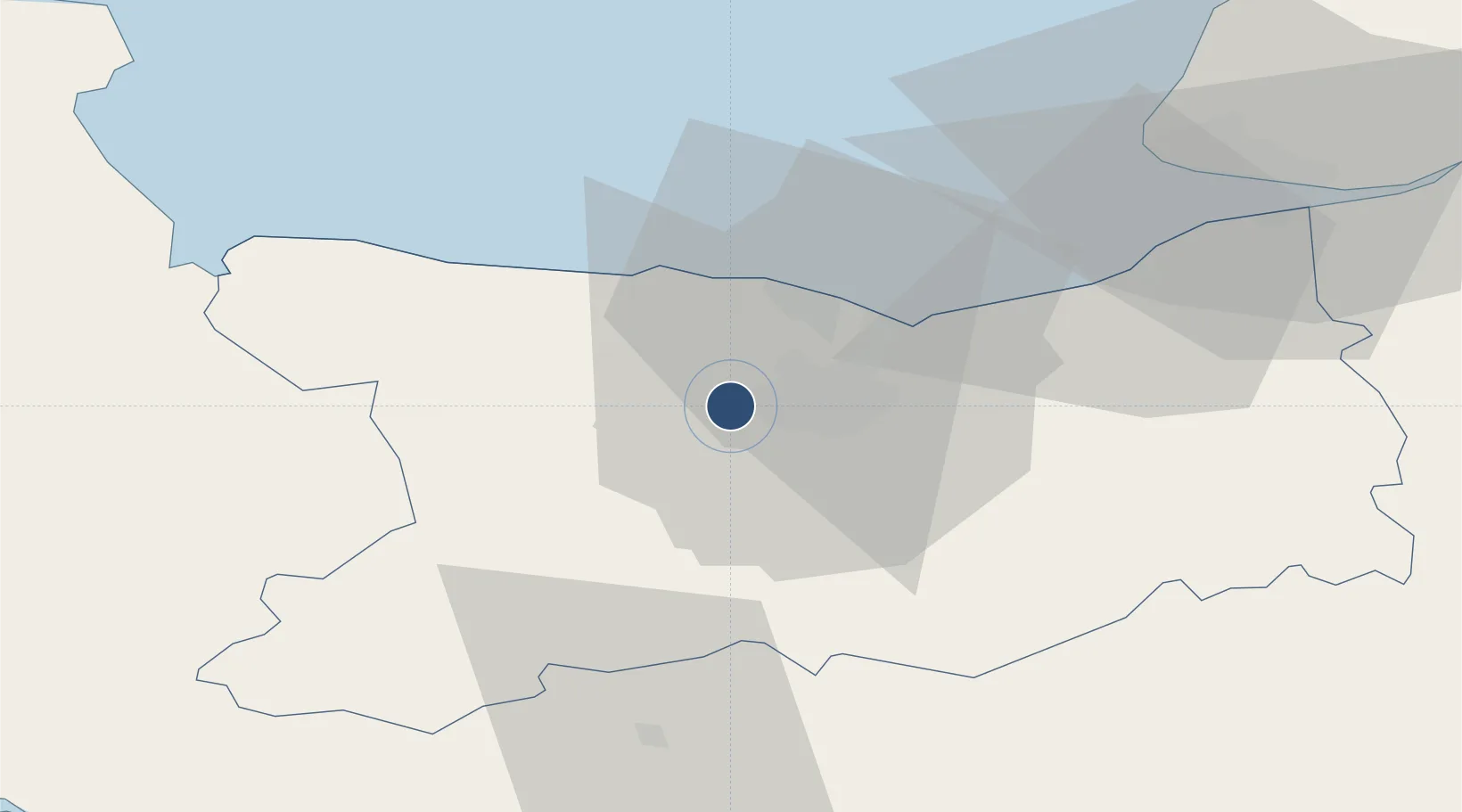
49.1768°, -0.4549°
6,233 ft
Longest runway
2
Runways
256 ft
Elevation
Runway & Layout

Radio Frequencies
TWR
134.525 MHz
CAEN TWR
GROUND
131.4 MHz
CAEN OPERATIONS
APP
120.35 MHz
DEAUVILLE APP
Navaids
CAN VOR Caen 114.45 MHz
CNE NDB Caen 404 kHz
Runways · 2
| Runway | Dimensions | Surface | True heading | Lit |
|---|---|---|---|---|
| 13/31 | 6,233 × 148ft | Asphalt | 125° | ✓ |
| 13L/31R | 2,624 × 164ft | Not paved | 125° | — |
Airport Specifications
IATA code
CFR
ICAO code
LFRK
Airport class
Medium airport
Scheduled service
Yes
Runway surface
Asphalt
Served city
Caen
Location
Nearby Logistics Neighbours
Airports
- 1Deauville Normandie airport49 km
- 2Le Havre-Octeville Airport56 km
- 3Granville Airport87 km
- 4Cherbourg Manche airport90 km
- 5Rouen Vallée de Seine Airport121 km
Cities
- 1Mouen4 km
- 2Caen7 km
- 3Ifs9 km
- 4Brouay9 km
- 5Cormelles-le-Royal9 km
Ports
- 1Port De Caen8 km
- 2Ouistreham19 km
- 3Deauville44 km
- 4Port Of Le Havre54 km
- 5Honfleur56 km
Trade Zones
- 1ZFU La Guérinière, La Grâce de Dieu4 km
- 2ZFU Hérouville-Saint-Clair8 km
- 3ZFU Le Havre55 km
- 4ZFU Alençon92 km
- 5ZFU Cherbourg-Octeville102 km
DatabookThe Record of Consolidated Knowledge
France beyond logistics?