UN/LOCODE hub · United States
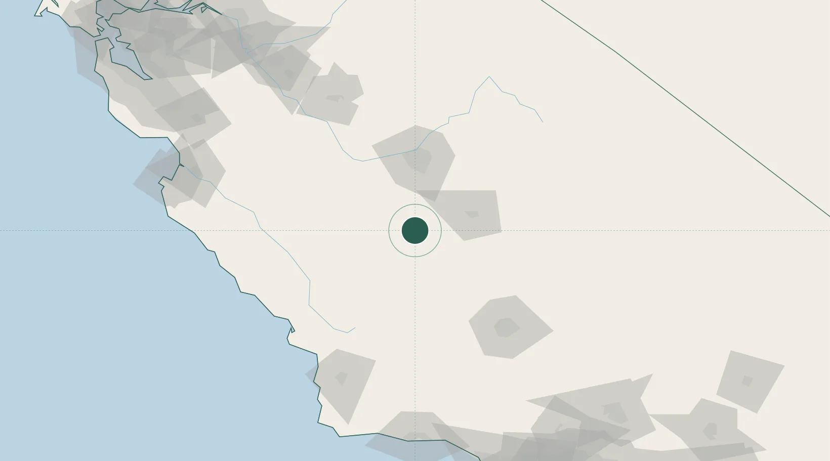
US9SF

Stratford

36.1833°, -119.8167°
1,277
Population
2
Transport functions

Transport Functions

Road
Multimodal
UN/LOCODE

Hub Profile

Place type
Populated place
GeoNames
Region
California
GeoNames
Population
1,277
GeoNames
Time zone
America/Los_Angeles
GeoNames
Elevation
62 m
GeoNames

Location

Location of US9SF
Natural Earth 10m (public domain) · California · US9SF · 36.18, -119.82GoogleOSMYandex

Nearby Logistics Neighbours

Cities
  1. 1Hanford23 km
  2. 2Kettleman City24 km
  3. 3Huron26 km
  4. 4Laton30 km
  5. 5Goshen40 km
Nearest neighbours — logibook spatial index (haversine) over the source coordinates
Ports
  1. 1Morro Bay130 km
  2. 2Pismo Beach139 km
  3. 3Port San Luis141 km
  4. 4Moss189 km
  5. 5Monterey191 km
Nearest neighbours — logibook spatial index (haversine) over the source coordinates
Airports
  1. 1Lemoore Naval Air Station (Reeves Field) Airport21 km
  2. 2Visalia Municipal Airport41 km
  3. 3Fresno Yosemite International Airport67 km
  4. 4Paso Robles Municipal Airport92 km
  5. 5Meadows Field108 km
Nearest neighbours — logibook spatial index (haversine) over the source coordinates
Trade Zones
  1. 1FTZ No. 276 Kern County116 km
  2. 2FTZ No. 226 Merced, Madera and Fresno Counties138 km
  3. 3FTZ No. 018 San Jose225 km
  4. 4FTZ No. 205 Port Hueneme233 km
  5. 5FTZ No. 191 Palmdale236 km
Nearest neighbours — logibook spatial index (haversine) over the source coordinates
DatabookThe Record of Consolidated Knowledge
United States beyond logistics?
Browse databook

All Sources

LocationsUN/LOCODE
UN/LOCODE — free
LocationsGeoNames
CC BY 4.0
Portsthe NGA World Port Index
Public domain (US gov)
AirportsOurAirports
Public domain
Trade Zonesthe World Bank SEZ database
CC BY 4.0
Trade ZonesOpen Zone Map
CC BY
← United States locations