Transport Functions
Rail
Road
Hub Profile
Place type
Populated place
Region
Texas
Population
6,016
Time zone
America/Chicago
Elevation
98 m
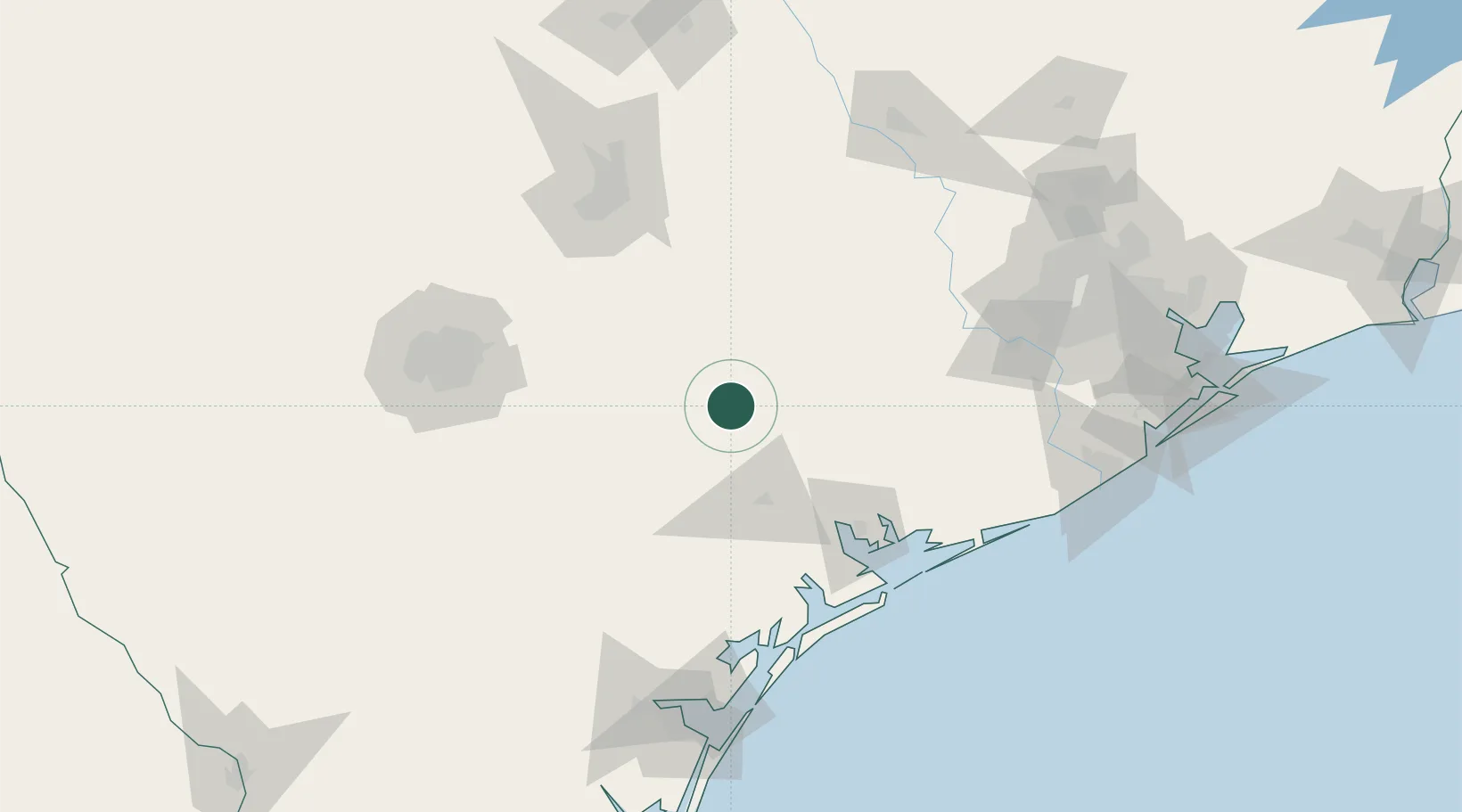
Location
Nearby Logistics Neighbours
Cities
- 1Cuero26 km
- 2Flatonia45 km
- 3Waelder46 km
- 4Schulenburg49 km
- 5Muldoon58 km
Ports
- 1Port Lavaca91 km
- 2Palacios113 km
- 3Rockport141 km
- 4Port Aransas162 km
- 5Port Ingleside163 km
Airports
Trade Zones
- 1FTZ No. 183 Austin123 km
- 2FTZ No. 080 San Antonio161 km
- 3FTZ No. 122 Corpus Christi166 km
- 4FTZ No. 149 Freeport171 km
- 5FTZ No. 084 Harris County188 km
DatabookThe Record of Consolidated Knowledge
United States beyond logistics?