Transport Functions
Rail
Road
Multimodal
Hub Profile
Place type
Populated place
Region
Texas
Population
693
Time zone
America/Chicago
Elevation
115 m
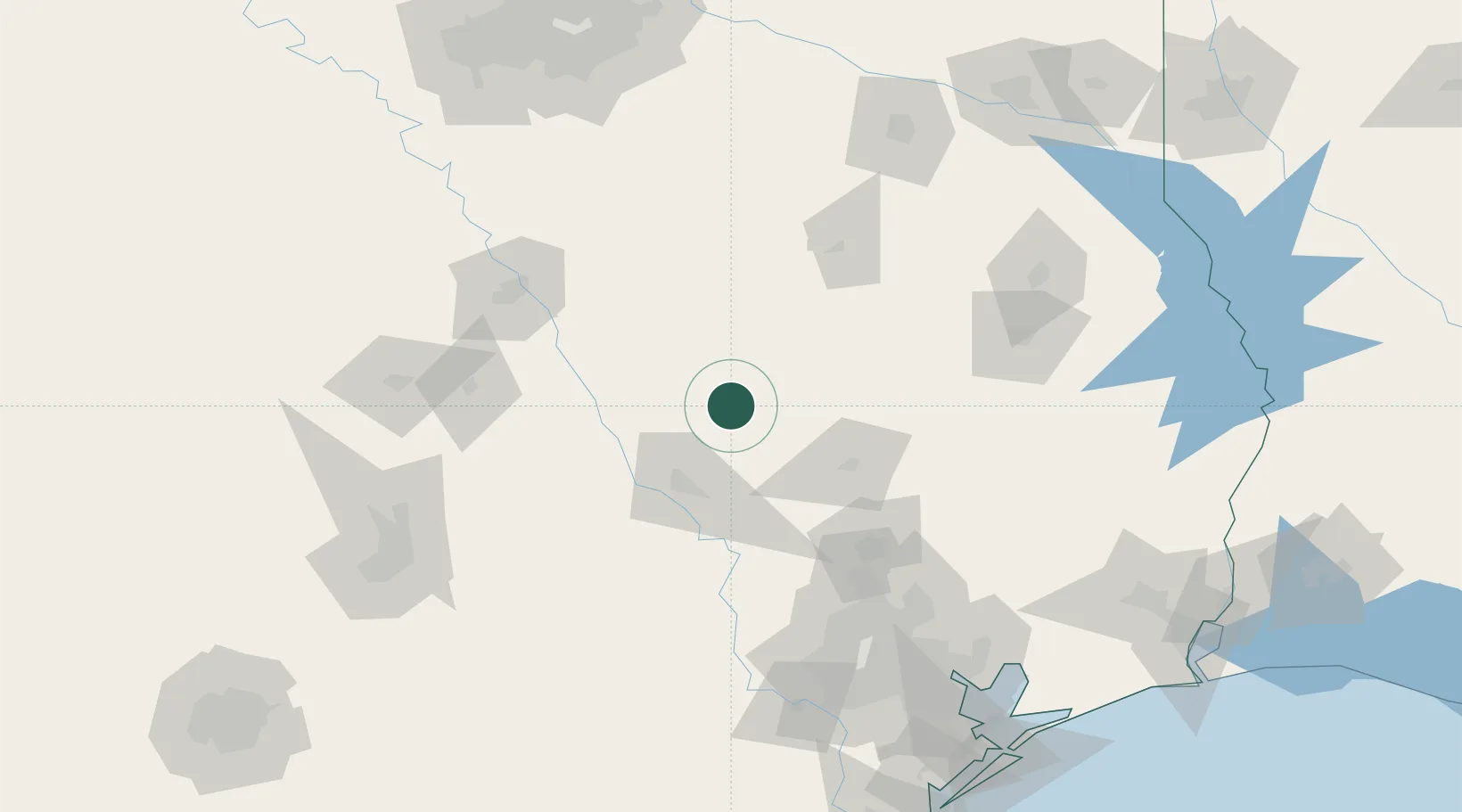
Location
Nearby Logistics Neighbours
Cities
- 1Mumford52 km
- 2Malvern53 km
- 3Center, Limestone62 km
- 4Millican62 km
- 5Lovelady66 km
Ports
- 1Deer Park160 km
- 2Houston162 km
- 3Pasadena168 km
- 4Baytown178 km
- 5Texas City215 km
Airports
Trade Zones
- 1FTZ No. 246 Waco124 km
- 2FTZ No. 297 Lufkin130 km
- 3FTZ No. 269 Athens133 km
- 4FTZ No. 171 Liberty County135 km
- 5FTZ No. 084 Harris County156 km
DatabookThe Record of Consolidated Knowledge
United States beyond logistics?